

























































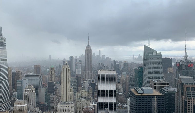
Tuesday, July 28, 2026: New Yorkers stepped out into a muggy morning in the low 70s, thick humidity hanging over mostly clear skies, with trouble brewing fast. The National Weather Service has a Flood Watch up for the city as a slow-moving low-pressure system spins through, sending multiple rounds of heavy showers and thunderstorms into the area through Wednesday evening. Expect bursts of torrential rain, gusty south winds and quick-hitting urban flash flooding that can swamp street drains and flood transit entrances in a hurry.
Timing And Rainfall
The Flood Watch runs from 8:00 a.m. Tuesday, July 28 through 8:00 p.m. Wednesday, July 29, with the worst of the rain expected Tuesday afternoon into the evening. Forecasters say most neighborhoods will likely pick up 2 to 3 inches of rain, with 3 to 5 inches possible in parts of the Lower Hudson Valley and northeastern New Jersey and isolated amounts even higher. Peak hourly rainfall rates could reach 1.5 to 2.5 inches, which is more than enough to trigger flash flooding on city streets and in basements. Check the latest details from the National Weather Service.
City Response And Commute
City crews are already out clearing catch basins ahead of the heaviest downpours, and the Emergency Management Department has put out a travel advisory for both Tuesday and Wednesday. NYC Emergency Management is urging people in basement apartments to know their exits, sign up for Notify NYC and brace for slower, wetter commutes. Drivers are urged to avoid plowing through standing water and everyone should pad their afternoon and evening travel with extra time.
Beaches, Ferries And Harbor Traffic
Out at the ocean beaches, a high rip current risk is in play, and some nearby waters are under Small Craft Advisories. Swimmers and small boaters are being told to stay out of the surf and expect choppier-than-usual ferry rides. Wind gusts around 25 to 30 mph are possible outside of thunderstorms, which will rough up the harbor, so check marine notices from the National Weather Service before heading out on the water.
How To Prepare
Residents are encouraged to move vehicles off low-lying streets, secure any loose outdoor furniture and never drive or walk through floodwater. Turn around, don’t drown. Keep phones charged, watch for upgraded Flood Warnings and stick with official channels for real-time updates. For background on the earlier rounds of stormy weather that primed the ground, see our earlier post on the earlier rounds of storms. Keep an eye on local alerts and consider rescheduling outdoor plans while the Flood Watch is in effect.





