

























































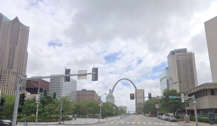
St. Louis started Monday in a haze, with patchy fog, muggy lows near 70°F and visibility knocked down in some of the usual low-lying trouble spots. Skies are expected to brighten toward midday, sending afternoon highs into the mid-to-upper 80s, with just a slight chance of a few pop-up showers or thunderstorms.
Foggy Mornings, Mostly Sunny Afternoons
Patchy fog should hang around through the early-morning commute, especially across central Missouri. The National Weather Service St. Louis has a Dense Fog Advisory in place for several counties until about 8 a.m. CDT, so drivers can expect locally reduced visibility on back roads and in river valleys. Use low beams, ease off the gas and give yourself extra time to get where you are going.
Small Storm Chance Now, Bigger Window Later This Week
For today, forecasters are keeping the rain odds low, with only about a 20% chance of afternoon showers or thunderstorms, mainly south and east of the metro. Any storms that do bubble up should be brief and isolated. The better shot at more organized rain arrives Thursday night into Friday as a front stalls over Missouri and Illinois, a trend highlighted for Thursday night into Friday. If you have outdoor plans later in the week, it is worth keeping an eye on radar and weather alerts.
Temperatures will climb through the week, with Tuesday near 88°F, Wednesday near 91°F and Thursday potentially reaching the mid-90s. Overnight lows will stick to the low 70s, offering little in the way of nighttime relief. Plan on extra water for any midweek outdoor time, and check the National Weather Service for updated forecasts if you have travel or big events on the calendar.



