

























































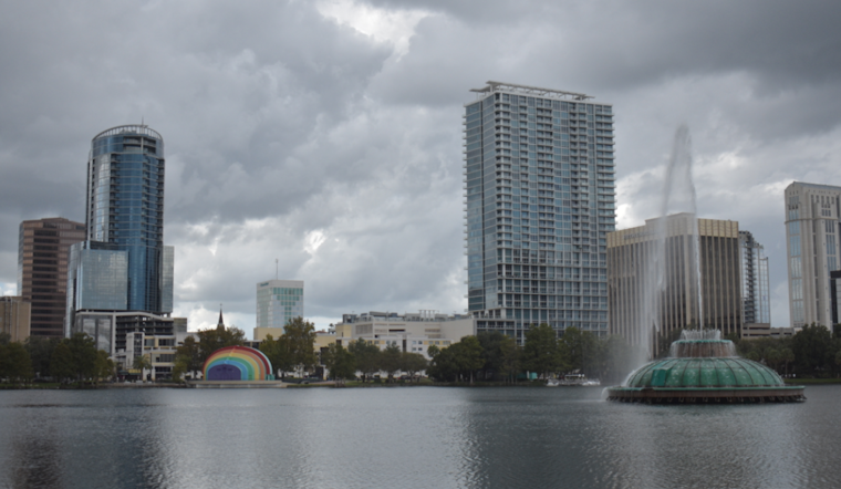
Orlando woke up to a classic steam bath Friday morning, with airport readings around 86°F and dew points in the mid 70s. Highs are expected to climb into the low 90s, and anyone staying outside for long will be dealing with heat index values topping 100°F. The main story, though, is a window of scattered to numerous afternoon thunderstorms that could be strong and slow-moving.
Afternoon Storm Window
A chance of showers and thunderstorms is expected late this morning, with coverage ramping up between about 11 a.m. and 2 p.m. and the highest storm coverage after 2 p.m. New rainfall amounts of around a quarter to a half inch are likely, according to the National Weather Service. Some slow-moving cells could drop 1 to 3 inches of rain in a short period, which may lead to brief, localized flooding.
Storm Hazards
The strongest storms may pack frequent lightning, small hail and damaging wind gusts, with forecasters noting gusts up to 55 mph in the most intense cells. Beachgoers are looking at a moderate risk of rip currents along east central Atlantic beaches, and boaters should be ready for brief periods of heavy rain and higher gusts. Storm activity should wind down late tonight, with mostly dry conditions returning after midnight.
Weekend Outlook And Tropical Watch
The active pattern is expected to stick around through Monday, with scattered to numerous afternoon storms each day and southerly winds picking up to around 10 to 15 mph with higher gusts inland. The National Hurricane Center is also keeping an eye on a broad area in the northeastern Gulf that has about a 20% chance of development this week, which could help boost rainfall early next week. For background on how this pattern has been evolving, see how late-day storms crashed the party earlier this week.





