

























































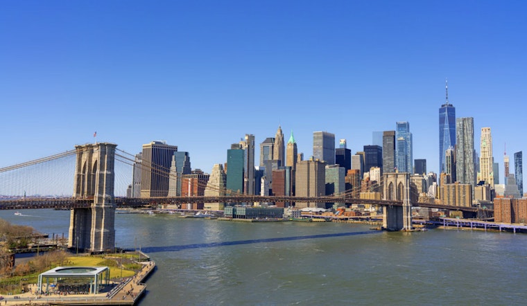
New Yorkers woke up Saturday, July 25, to clear skies, comfy humidity and temperatures parked in the mid 60s with a light northeast breeze. Sunshine is expected to rule the day, with an afternoon high near 78°F, making it a low-humidity summer weekend that is tailor-made for parks, stoops and waterfront hangouts.
Afternoon Winds And Sea Breezes
By afternoon, east winds should ramp up to around 6–13 mph, with gusts just over 10 mph in more exposed spots and near the airports. Sea breezes will knock a few degrees off temperatures right along the shoreline, while inland neighborhoods may reach the upper 70s to mid 80s, according to the National Weather Service.
Weekend Outlook
Both Saturday and Sunday are expected to stay mostly sunny, with highs near 78°F on Saturday and close to 80°F on Sunday, and nighttime lows in the upper 60s. Humidity remains on the comfortable side through the weekend, so outdoor events, backyard hangs and evening walks should feel pleasant rather than sticky.
Midweek Showers And Thunderstorms
A slow-moving front is on track to approach late Monday, July 27, bringing a chance of afternoon showers and isolated thunderstorms. Rain chances increase into Tuesday, July 28, when showers and thunderstorms are likely. The Weather Prediction Center places the region under a marginal risk for excessive rainfall from Tuesday into Wednesday, which means localized flooding and sluggish commutes are on the table, so it is worth keeping an eye on updates through midweek.
Plan Ahead
Enjoy the dry, mild weekend while it lasts, but have an umbrella ready to go early next week, and avoid driving through flooded streets if storms deliver brief heavy downpours. Beachgoers and small-boat operators should take note of a moderate rip-current risk and building seas this weekend, and check in with lifeguards and the latest marine forecasts for the most current guidance.



