

























































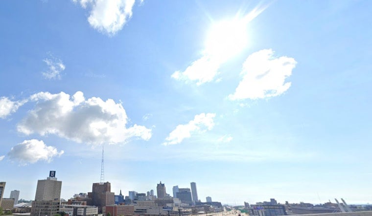
Milwaukee woke up to mostly sunny skies and mild air this morning, with temperatures near 63°F and a forecast high around 82°F. The first part of the day looks dry and comfortable, but the quiet stretch does not last long. Showers and thunderstorms are expected to ramp up Wednesday evening into Thursday, July 8 into 9, with some storms capable of dropping heavy rain.
Afternoon Lakefront And Commute
Sun dominates this afternoon. Inland neighborhoods are on track to warm into the low to mid 80s, while a developing lake breeze keeps the shoreline closer to the upper 70s. Winds stay on the lighter side inland, but they may turn noticeably breezier and cooler along the lakefront, so plan on a chillier shoreline commute. This setup lines up with the latest forecast discussion from the National Weather Service Milwaukee.
Storm Timing And Severe Risk
Showers and thunderstorms become more likely Wednesday evening into early Thursday, with the best chance for widespread activity from Wednesday night into Thursday morning. Some storms could bring strong, damaging wind gusts, frequent lightning and small hail. Parts of southern Wisconsin sit in a Slight Risk area for Wednesday's storms, according to the outlook from the Storm Prediction Center.
Heavy Rain And Local Flooding Concern
Forecasters are watching a very moist air mass and a slow moving frontal boundary, which raises the odds that storms could repeatedly track over the same neighborhoods. That pattern can wring out locally heavy rainfall and lead to ponding on streets, especially late Wednesday into Thursday morning. Keep an eye on radar and be ready to tweak evening or early morning plans if water starts collecting on roads. The National Weather Service Milwaukee has the latest timing details and flood guidance.
Plan Ahead
Secure loose patio furniture before storms arrive, move outdoor events inside if lightning is nearby, and never drive through flooded roadways, even if they look shallow. Check hourly updates and radar before heading out Wednesday night and again Thursday morning.





