

























































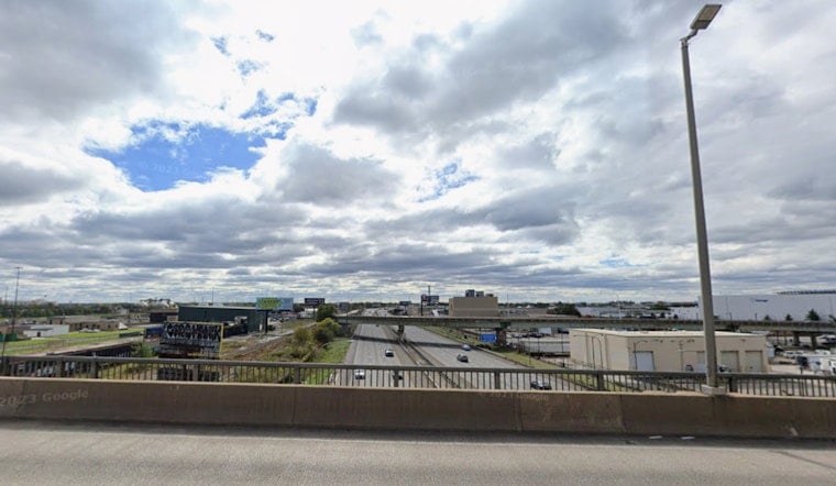
Philadelphia wakes up under a thick, gray blanket Wednesday, July 22, with clouds, mid 70s temperatures, and dew points in the low 70s making it feel downright sticky. Skies should crack into partial sunshine later on, and the afternoon high is expected to land near 86°F, but it is a good day to keep a light rain jacket close for those hit-or-miss showers.
Afternoon Storms And Timing
After a partly sunny start, a slight chance of showers and thunderstorms arrives after 2 p.m. Wednesday, July 22, with the best odds leaning toward late afternoon. The National Weather Service Mount Holly notes that isolated severe storms are most likely south and east of the I-95 urban corridor, where strong outflow gusts and brief heavy downpours could fire up. Any stronger storm cell could kick out damaging wind gusts and spark localized flash flooding, especially if new storms set up over already saturated spots.
Winds And Commute
Southwest winds around 10 mph this morning are expected to veer to the west and pick up to roughly 5 to 15 mph this afternoon, with gusts in the 20 to 25 mph range possible inside the stronger storms. Those bursts of wind, paired with brief heavy rain, can quickly cut visibility along I-95 and on city streets and may knock down weaker tree branches, so do not be shocked by a few minor slowdowns during the evening drive. A compact umbrella and a little extra travel time are smart adds if you have outdoor plans later today.
Marine And Beach Conditions
Down the Shore and along the Delaware beaches, surf stays on the choppy side, with breaking waves up to about 5 feet in the surf zone and a Moderate rip current risk posted for today. Small craft advisory conditions lingered overnight in parts of the coastal waters, and a few advisories could hang on into tonight, so boaters and beachgoers should check in with local marine forecasts before heading out. Steer clear of rip currents and follow lifeguard instructions if you are getting in the water.
Looking Ahead
The front is expected to clear the region tonight, opening the door to noticeably drier, more comfortable weather on Thursday, July 23, with sunshine and a high near 81°F. Friday and Saturday look seasonable, with highs in the low to mid 80s, while a few late day shower chances creep back into the picture by Sunday and into next week. For more on the pattern behind this stretch of pop-up storms, see our brief break before soakers.
Bottom line: keep a lightweight rain layer handy this afternoon, think twice about beach time if the surf looks rough, and keep an eye on conditions late in the day for brief, gusty storms on Wednesday, July 22. Check the National Weather Service Mount Holly for the latest watches, advisories, and beach updates before you head out.





