

























































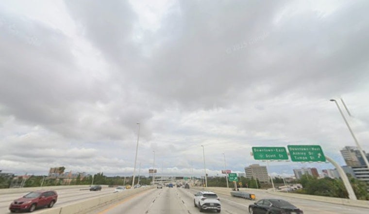
Tampa starts Thursday, July 30, partly cloudy and around 84°F, but the quiet opening will not last. Showers and thunderstorms are expected to build through the morning and afternoon, pushing the high near 91°F before rain cools parts of the city back into the mid-80s.
The National Weather Service Tampa Bay is calling for a 70% chance of rain, heat-index values as high as 101°F and possible rainfall totals of three-quarters to 1 inch. West-southwest winds will run 6 to 12 mph, with the heaviest storm activity most likely from late morning into the afternoon.
Downpours Could Flood Tampa Streets
Forecasters warn that locally heavy rain could cause urban and street flooding, especially in low-lying or flood-prone areas. Briefly reduced visibility, lightning and sudden wind shifts are also possible when stronger storms move through, so outdoor plans and afternoon travel may need some flexibility.
Beachgoers Face Dangerous Rip Currents
A Rip Current Statement remains in effect through Friday evening for Pinellas, coastal Hillsborough and several other Gulf-facing counties, according to NWS Tampa Bay. Swimmers should stay near a lifeguard, avoid fighting the current and swim parallel to shore if caught in one.
Wetter Weekend Ahead
Friday brings another hot day near 91°F with a 50% chance of showers and thunderstorms, followed by a 60% rain chance Saturday. Sunday looks like the wettest day, with widespread showers and storms, an 80% rain chance and a high near 90°F.
The broader setup is a notable escalation from the earlier steamy-storm pattern covered by Hoodline, with forecasters now highlighting a greater risk of localized flooding near and along the coast. The heaviest rain threat may extend from the Sarasota-Bradenton area northward over the weekend.
Heat Returns Next Week
Storm chances remain in the forecast Monday, when Tampa could reach 92°F, then rise to about 94°F Tuesday and Wednesday. Those later storms are expected mainly after 2 p.m., while nighttime lows stay muggy in the mid-70s.





