

























































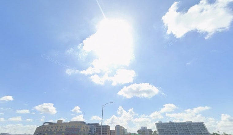
Tampa is waking up to another steamy one today. Expect hot, sticky air with a high near 94°F and heat-index values pushing into the low 100s. Isolated showers and thunderstorms may pop up late this morning, becoming more widespread from midday into the early afternoon before easing off toward evening. Keep the water bottle close and the shade closer. Any storm that fires could pack brief heavy rain, frequent lightning and gusty, erratic winds.
Afternoon Storm Timing
Isolated showers and storms are possible between about 8 a.m. and 10 a.m., with activity ramping up to scattered thunderstorms from roughly 10 a.m. to 3 p.m., then dialing back to more isolated cells through the late afternoon. Most spots will see on the order of a tenth to a quarter of an inch of rain where storms form, although stronger cells can dump heavier, localized downpours and produce stronger gusts. Tonight, shower chances linger, and a few pockets could pick up around a half to three quarters of an inch before morning, with a low near 79°F. Forecast details come from the National Weather Service.
Weekend Outlook And Marine Impacts
Rain chances climb on Friday and through the weekend as an upper-level trough and a tropical wave slide into the eastern Gulf. The odds of showers and thunderstorms rise into the 60–80% range, with some areas picking up an inch or more in heavier bands. That setup will tighten the pressure gradient over nearshore waters, which means choppy seas and potentially hazardous small-craft conditions into early next week. If you have outdoor plans, bake in both the heat and the likelihood of sudden downpours that can quickly cut visibility and slow travel.
Heat Safety And Local Resources
Heat-index values of 100–107°F are expected through the week, raising the risk of heat-related illness for anyone spending long stretches outside. The city maintains cooling resources and heat-safety guidance, including its Heat Resilience Playbook. Check local options, cooling centers and tips on the City of Tampa website. Keep an eye on older neighbors, avoid heavy exertion during the middle of the day, and make sure pets are out of direct sun during the peak heat.
What To Do Now
Shift strenuous work or workouts to the early morning or evening, carry water whenever you head out, and have an indoor backup plan for any outdoor events, since storms can bubble up fast. Boaters and beachgoers should keep an eye on the sky and forecasts, and be ready to head in if lightning or building squalls move in. We will update readers if any watches or advisories are issued. Otherwise, plan on hot, humid days and increasing rain chances as Tampa rolls into the weekend.





