

























































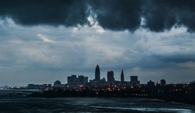
Cleveland is waking to mostly clear skies and temperatures around 72 degrees, but the calm will not last. Showers and thunderstorms are expected to sweep through Tuesday, with heavy rain, possible damaging winds and a heightened flood risk across the city and surrounding areas.
Flood Watch Begins Tuesday Afternoon
The National Weather Service in Cleveland has placed Cuyahoga County and much of northern Ohio under a Flood Watch from 11 a.m. Tuesday through Wednesday morning. Showers are likely before 11 a.m., followed by scattered thunderstorms and additional rounds of storms through the afternoon and evening.
Tuesday's high is expected to reach about 81 degrees, with west winds near 7 mph. Forecasters say northern Ohio has already picked up 1 to 2 inches of rain since Sunday, and another 1 to 2 inches could fall Tuesday into Tuesday night, with locally higher totals where storms repeatedly track over the same locations.
That setup could send runoff into rivers, creeks, streams and low-lying areas, while ponding is possible on roads with poor drainage. Stronger storms may also produce damaging wind gusts, so Cleveland residents should keep an eye on warnings and avoid driving through flooded roadways.
More Storm Chances Through Thursday
Wednesday should start mostly sunny before showers and thunderstorms become possible late in the afternoon. The high will be near 82 degrees, followed by a mostly cloudy night with a low around 69 and a 40% chance of rain and storms.
Thursday stays unsettled, with partly sunny skies, a high near 81 and another chance of showers and thunderstorms. The rain risk is lower than Tuesday's, but the active pattern is expected to linger through the day.
Clearer, Cooler Weather Arrives Friday
Friday brings a welcome break with mostly sunny skies and a high near 77 degrees, while overnight temperatures dip to about 63. Saturday should also be mostly sunny with a high near 77, though a slight chance of showers returns after 2 p.m.
Storm chances rise again Saturday night and remain in the forecast Sunday and Monday. Sunday could reach 81 degrees with likely showers and thunderstorms, followed by a cooler Monday near 77 with a chance of rain showers.





.jpg)