

























































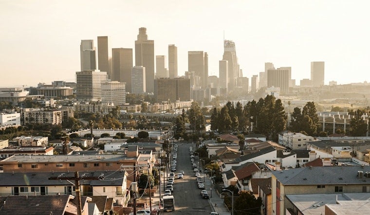
Downtown Los Angeles is starting Monday around 70 degrees with humid air, and patchy fog is expected to linger through late morning. By afternoon, the clouds should break enough for partly sunny skies and a high near 88, making for a warm day before a noticeable cooldown takes hold.
Fog Before 11, Heat By Lunch
Temperatures are expected to climb quickly, reaching the low 80s by late morning and topping out around 88 between 1 p.m. and 4 p.m. South-southwest winds will stay light to moderate at roughly 5 to 10 mph, with little chance of rain. The National Weather Service Los Angeles/Oxnard says fog should return after 11 p.m. Monday.
Cooling Trend Arrives Tuesday
Tuesday's high is forecast near 85, followed by 82 on Wednesday and about 80 Thursday and Friday. Overnight lows will ease from the upper 60s early in the week to the low and mid-60s later on. It is a marked shift from the hot, muggy stretch Hoodline covered in July, as a stronger marine layer spreads cool coastal clouds into more valleys.
Coastal Flooding Possible Monday Night
A Coastal Flood Advisory is in effect from 6 p.m. Monday through midnight Wednesday for parts of the Los Angeles County coast. The National Weather Service says evening tides could reach 7.5 feet between about 8 p.m. and 10 p.m., creating a risk of minor seawater flooding around low-lying beaches, parking lots and walkways.
Areas near Point Dume and Long Beach are among those most vulnerable. Anyone heading to the coast should avoid flooded walkways and low spots around high tide, and check local updates before making evening beach plans.
Mostly Sunny By The Weekend
Fog remains possible before 11 a.m. Tuesday through Thursday, while Friday turns mostly sunny and the weekend brings highs near 81 Saturday and 83 Sunday. Downtown has almost no rain in the forecast, though forecasters see a small chance of afternoon thunderstorms over the mountains through Thursday.



