

























































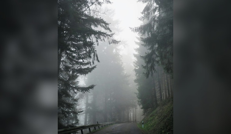
Greenville is waking up Thursday under cloudy, muggy skies, with temperatures near 72 degrees and enough moisture in the air to make the morning feel sticky. Patchy fog and low stratus could persist past sunrise, lifting from late morning into early afternoon, but the quiet start will give way to afternoon showers and thunderstorms as temperatures climb toward 88.
Storm Chances Rise Thursday Afternoon
Showers and thunderstorms are possible Thursday, with the best odds arriving from midafternoon into the evening. A few storms could bring brief heavy rain and gusty winds, while slow-moving downpours may create isolated nuisance flooding in spots, according to the National Weather Service.
Thursday night stays unsettled, with isolated showers possible overnight and a low near 69 degrees. Rainfall totals could reach a quarter to a half-inch in some locations, and patchy fog may return after the storms fade.
Friday Looks Like The Wetter Day
Friday brings another warm day, with a high near 86 and showers and thunderstorms possible. Storms are most likely between 2 and 5 p.m., followed by a lingering chance into the evening, so outdoor plans may need a backup option.
Forecasters say a few stronger storms are possible Thursday and Friday, with damaging wind gusts the main concern. No watches, warnings or advisories are currently listed for the area, but residents should head indoors when thunder is heard and avoid driving through water-covered roads.
Weekend Storms Ease Before A Hot Turn
Saturday will see continued chances for showers and thunderstorms. Sunday looks to have less storm coverage.
The bigger shift arrives Monday through Wednesday, when mostly sunny skies and much lower rain chances take over. Highs east of the mountains are expected to return well into the 90s by Tuesday and Wednesday, ushering in a hotter, more humid stretch just as the daily storm cycle begins to fade.
This latest outlook updates Hoodline’s earlier forecast with a clearer split between the stormier Thursday-Friday period and the hotter, drier pattern expected next week.





