

























































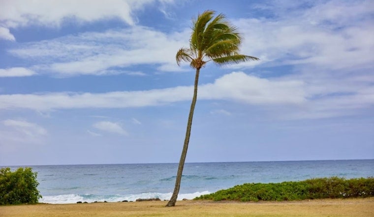
Honolulu is starting Saturday mostly clear and around 79 degrees, but the bright sky comes with a blustery forecast. East-northeast winds are already near 25 mph at the airport, and gusts could approach 30 mph as temperatures climb to 88. The bigger change arrives after midnight, when isolated showers begin edging into the forecast.
Windy Saturday With Mostly Sunny Skies
The National Weather Service Honolulu office expects mostly sunny conditions Saturday, with east-northeast winds between 15 and 21 mph and gusts as high as 29 mph, the National Weather Service reports. For most Honolulu residents, the main practical issue will be wind rather than rain, especially around exposed beaches, parks and outdoor gathering spots.
Saturday night stays warm near 79 degrees, with winds around 20 mph and gusts up to 28 mph. Isolated showers have a 20% chance and are most likely after midnight, so late-night plans may want a little flexibility.
Sunday Brings Gustier Winds And More Showers
Sunday starts with isolated showers before noon, then turns mostly sunny, with a high near 87 degrees. Winds will strengthen to 20 to 24 mph, with gusts up to 35 mph, making exposed trails, waterfronts and higher terrain feel noticeably rougher.
Sunday night is expected to be the wettest period for Honolulu, with scattered showers, mostly cloudy skies and a 50% chance of rain. Rainfall amounts could reach between a tenth and a quarter of an inch, while Monday keeps scattered showers in the forecast with a high near 87.
Boaters Face Rougher Waters
A Small Craft Advisory covers Oahu's windward and leeward waters and Kaiwi Channel through 6 p.m. Sunday. The National Weather Service says trade winds will build as Tropical Storm Moke passes south of the islands, with tropical-storm-force conditions possible in offshore waters, according to its marine forecast.
Big Island Flood Risk Is Higher
Honolulu is not under the Big Island Flood Watch, but Moke is expected to bring heavier, more persistent rain to windward and southeastern parts of the Big Island from late Saturday night through Monday afternoon. Forecast rainfall there ranges from 5 to 10 inches, with locally higher totals possible, while the other islands could see up to a few inches.
For Honolulu, the takeaway is a classic trade-wind weekend with stronger-than-usual gusts, mostly usable daytime weather and a better chance of passing showers after dark. More typical, drier trade-wind conditions are expected to return by Wednesday.


