

























































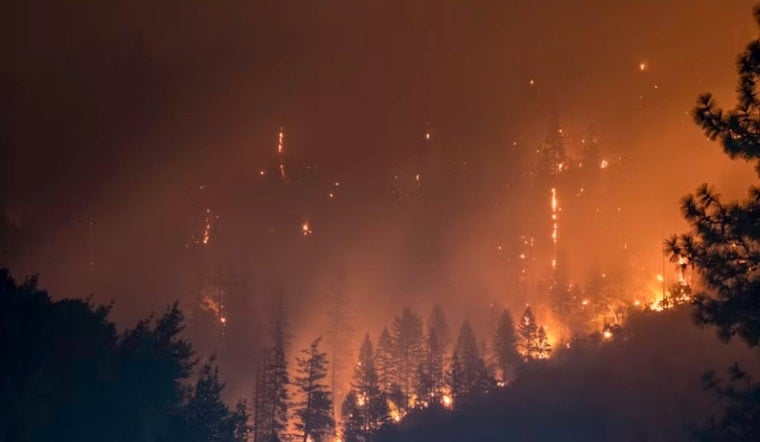
A new wildfire dubbed the Glide Fire broke out on private land in Shasta County Thursday evening, discovered at 6:31 p.m. on August 21, according to federal fire tracking data. As of the latest update, both the cause of the blaze and its containment status remain undetermined.
The initial report came from the National Interagency Fire Center, which collates real-time wildland incident data from agencies across the country, as first reported by The Sacramento Bee. Automated entries like this one typically appear before local ground crews have had a chance to establish acreage, perimeter, or containment figures, according to the National Interagency Fire Center. That gap between initial alert and confirmed details is a familiar pattern for wildfires breaking out on private land in the region — the same reporting lag played out earlier this year with the Still Fire and Carlie Fire, both of which ignited on private Shasta County land in late March and initially showed zeroed-out acreage before officials filled in the details.
A County Already Stretched Thin on Fire Resources
The Glide Fire ignited at a particularly strained moment for wildland firefighting nationwide. At the time the fire was reported, the National Interagency Coordination Center had the country at Preparedness Level 5, its highest tier, with 126 active incidents and 24,265 wildland firefighting personnel committed across the nation, per the fire center's situation report. That level of national commitment means heavy competition for specialized crews and air support just as a new fire emerged in Shasta County.
Some of that surge capacity, however, is stationed close by. Two Modular Airborne Fire Fighting System C-130 airtankers and support personnel from the California Air National Guard's 146th Airlift Wing were positioned locally at Redding, offering emergency aerial suppression capability if the Glide Fire were to escalate, the fire center's data shows. Because the fire ignited on private land in unincorporated Shasta County, it falls under the state's Cal Fire jurisdiction, since the area is designated a State Responsibility Area under Public Resources Code Sections 4125 through 4128, according to the California Board of Forestry and Fire Protection. That designation makes Cal Fire the primary agency responsible for suppression on timber and range lands outside incorporated city boundaries.
Defensible Space Rules and Local Alert Systems
Under Public Resources Code Section 4291, property owners within State Responsibility Areas are required to maintain 100 feet of defensible space around homes and structures, clearing flammable vegetation to slow a fire's spread and protect firefighting crews, per Cal Fire's fire safety regulations. Residents looking to track evacuation orders or advisories tied to the Glide Fire can turn to AlertShasta and Genasys Protect, the zone-based public warning platforms managed by SHASCOM 911 and the Shasta County Sheriff's Office. The county moved to these systems to replace its older CodeRED alert setup, according to the Shasta County Sheriff's Office.
The Cal Fire Shasta-Trinity Unit, which holds primary wildland protection responsibility across the county, has already handled several initial-attack fires this summer, including the 31-acre Alturas Fire in July, the 16.1-acre Hill Fire in July, and the 39-acre Plains Fire in June — all contained at relatively small size. That track record offers some context for how quickly a new ignition like the Glide Fire could be knocked down, though official figures for this latest blaze have not yet been released.
Living in the Shadow of Carr and Zogg
Any new ignition in Shasta County tends to draw immediate public concern given the region's history with devastating wildfires. The 2018 Carr Fire burned 229,686 acres, and the 2020 Zogg Fire burned 56,338 acres, destroyed 204 structures, and caused four deaths in the southwestern part of the county, according to wildfire risk data compiled by Satelife. Shasta County routinely ranks among California's highest fire-risk areas, a legacy that still shapes how residents respond to every new report of smoke.
That history isn't only about the fires themselves — it's also about the infrastructure damage that lingers years later. Just two weeks ago, over 8,000 residents in the southern Shasta County community of Happy Valley faced water shutoffs and boil-water notices during repairs to a water district's main lines, a vulnerability Hoodline previously traced back to Carr Fire damage to the Clear Creek Community Services District's treatment system. As the Glide Fire's cause and containment remain undetermined, officials have not yet released updated figures on its size or threat to structures.





