

























































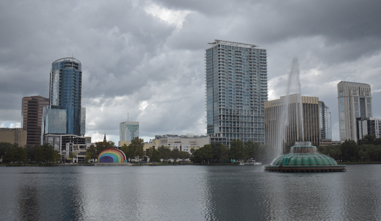
Orlando is starting Friday near 75 degrees under clear skies, but that calm will not last long. Showers could arrive by 8 a.m., with thunderstorms becoming likely from early afternoon into the evening as temperatures peak near 89 before falling into the mid-80s.
Friday's rain chance is about 70%, according to the National Weather Service in Melbourne. East-northeast winds of 5 to 15 mph may gust as high as 25 mph, while a few stronger storms could produce frequent lightning and wind gusts up to 50 mph.
Heavy Downpours Could Snarl Orlando Roads
Deep tropical moisture could drop 2 to 4 inches of rain in a short time, with isolated spots potentially seeing up to 5 inches. The main concern is nuisance flooding on roads and in poor-drainage areas, though higher-end totals could create isolated flash flooding and more serious standing water.
Saturday Stays Hot And Stormy
Saturday looks mostly sunny early, then turns stormy after 1 p.m., with a high near 92 and heat index values reaching 103. Showers and thunderstorms are likely again Saturday night, with lightning, gusty winds and another risk of locally heavy rain.
Sunday turns somewhat drier but remains hot, with a high near 93 and a 40% chance of afternoon and evening storms. From Monday through Thursday, rain chances ease to roughly 20% to 30%, while highs rise to 94 or 95 and heat indexes could reach 108 to 110 in some spots.
Atlantic Beach Plans Come With Extra Risk
Residents heading toward the coast Friday should be aware of poor offshore boating conditions, seas building to 6 feet and a high risk of rip currents at area beaches. Inland, Orlando residents should keep an eye on lightning and rapidly waterlogged roads before making afternoon outdoor plans.





