

























































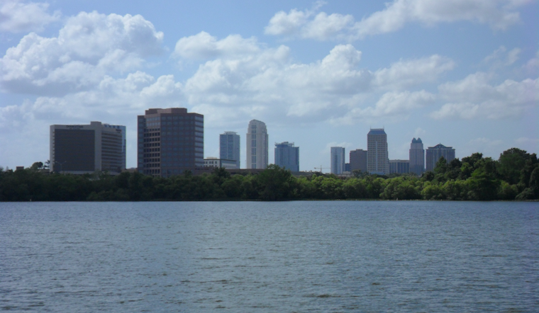
Orlando is starting Sunday, August 9, under clear skies and temperatures around 79°F, but the calm morning will not last all day. The thermometer is expected to climb to about 93°F, with the heat index reaching as high as 103°F. Showers and thunderstorms could develop after 2 p.m., giving outdoor plans a late-day complication.
Storms Arrive After A Hot Afternoon
The latest National Weather Service forecast puts Orlando’s rain chance near 50% Sunday, with storms becoming more likely through the afternoon and early evening. Most rain may be brief, but stronger cells could bring frequent lightning, heavy downpours and wind gusts of 40 to 50 mph. Slow-moving storms may also produce locally heavy rainfall, so slick roads and sudden visibility drops are possible.
Beachgoers Face A Separate Hazard
A high risk of rip currents continues at area beaches Sunday, even as skies remain mostly sunny for part of the day. Anyone heading east from Orlando should swim near a lifeguard, avoid entering the water alone and treat a calm-looking surf with caution. The heat will add another reason to take regular breaks, drink water and seek shade or air conditioning.
Hotter And Drier Stretch Ahead
Monday will be slightly hotter, with a high near 94°F and only a small chance of an afternoon storm. Tuesday could reach 95°F, while Wednesday through Saturday are expected to stay mostly sunny with highs around 94 to 95°F and rain chances generally 20% or lower. Overnight lows will remain muggy in the mid to upper 70s, and heat-index values could climb toward 108 to 110°F in parts of Central Florida later in the week.





