

























































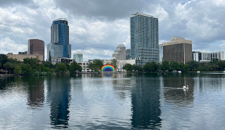
Orlando starts Tuesday with clear skies and quiet conditions, but the calm will not last. Temperatures are expected to climb toward 95 degrees before showers and thunderstorms become more likely after 2 p.m., with humidity pushing the feels-like temperature near 102.
Storms Arrive After 2 P.M.
Greater Orlando and communities near the I-4 corridor face roughly a 50% chance of rain Tuesday, with the best odds coming during the late afternoon and evening. The National Weather Service says the strongest storms could produce 40- to 50-mph wind gusts, frequent lightning, torrential rain and localized flooding in urban areas.
That means outdoor plans may begin under sunshine and still run into a sudden downpour later in the day. Storms should become less widespread overnight, but showers and thunderstorms remain possible before 11 p.m., followed by partly cloudy skies and a low near 75.
Rain Chances Rise Through The Weekend
The unsettled pattern strengthens Wednesday through Friday, when highs will remain near 94 and daily storm chances rise to 60% Wednesday and 70% Thursday and Friday. The latest forecast calls for the typical summer mix of hot, humid afternoons followed by lightning, gusty winds and brief periods of very heavy rain.
Scattered to numerous afternoon and evening storms are expected to continue through the weekend and into early next week, with highs in the low to mid-90s and nighttime lows in the mid-70s. No watches, warnings or advisories are listed for the area, but residents should drink water, take breaks in shade or air conditioning, and move indoors when thunder is heard.





_May_2023.JPG)