

























































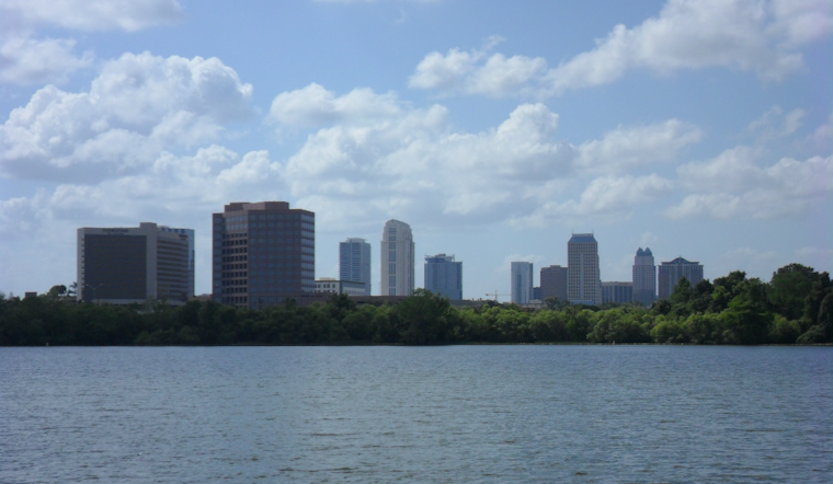
Orlando is waking to clear skies Thursday, but the comfortable start will give way to a dangerous afternoon as temperatures climb toward 97 degrees. A Heat Advisory is in effect across east central Florida, with humidity pushing the heat index into triple digits and thunderstorms possible after lunch.
The advisory runs from 10 a.m. to 8 p.m., with heat index values expected to reach 108 to 112 degrees in parts of the region, according to the National Weather Service in Melbourne. Orlando’s point forecast puts the local heat index as high as 106, still plenty hot enough to make outdoor work and prolonged exposure risky.
Storms Arrive During The Hottest Hours
Showers and thunderstorms could begin developing after 1 p.m., with the best chance during the midafternoon and early evening. The strongest storms may bring frequent lightning, brief heavy rain and wind gusts of 30 to 50 mph, while the overall rain chance stands at about 40%.
Rain chances should fade around 8 p.m., leaving a partly cloudy night with a low near 78 degrees. Winds will stay light for much of the day, but the afternoon sea breeze and storm outflows could make conditions change quickly.
More Heat Through The Weekend
Friday looks much like Thursday, with mostly sunny skies, a high near 97 and a heat index as high as 110. A 40% chance of afternoon thunderstorms is forecast, followed by a low around 77 Friday night.
Saturday could be the hottest day of the stretch, with a high near 98 and only a slight chance of an afternoon storm. Sunday should reach about 96, while rain chances remain limited before the heat and humidity continue into next week.
Take The Heat Seriously
Drink plenty of water, take frequent breaks in shade or air conditioning, and move strenuous outdoor activities to the morning or evening when possible. Children, older adults, people working outside and pets face added risk, and anyone showing signs of heat exhaustion should be moved to a cool place immediately.





