

























































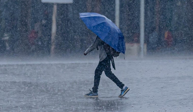
Philadelphia woke Thursday, August 27, to cloudy skies and temperatures in the low 70s, but the quiet start will not last. Showers and thunderstorms are expected to develop through the morning, with the heaviest activity arriving during the afternoon as temperatures climb toward 86 degrees.
Flood Watch Covers Philadelphia Through Early Friday
The National Weather Service Mount Holly has issued a Flood Watch for Philadelphia from noon Thursday through 4 a.m. Friday, August 28. Forecasters say storms could produce 1 to 2 inches of rain, with localized totals of 3 to 5 inches and rainfall rates of up to 1 to 3 inches per hour, according to the National Weather Service.
The greatest flooding concern is in poor-drainage and urban areas, where water can collect quickly during repeated downpours. The watch is not a guarantee that flooding will occur everywhere, but residents should be ready for rapidly changing conditions and possible Flash Flood Warnings.
Storms Strengthen Through The Afternoon
Rain chances begin Thursday morning, rise to about 60% around early afternoon and reach 70% during the midafternoon period. South winds will run around 5 to 10 mph, with stronger gusts possible near thunderstorms.
Along with very heavy rain, the strongest storms could bring damaging wind gusts and hail. The National Weather Service also says an isolated tornado is possible, particularly west of Interstate 95, making it a poor day to ignore those emergency alerts on the phone.
The timing marks a sharper update from Hoodline’s earlier forecast, which highlighted Thursday storms but did not include the same flood-watch threat. Friday will remain unsettled, with another chance of showers and thunderstorms before a front moves through.
Hotter, Drier Weather Returns This Weekend
Saturday is expected to turn mostly sunny with a high near 86 degrees, followed by a mostly sunny Sunday reaching about 88. Monday could be the hottest day of the stretch at around 90 degrees, while rain chances remain low through the weekend.
Showers may return Tuesday afternoon and continue into Wednesday, but temperatures will stay warm, with highs near 89 and 88 degrees. For Thursday plans, allow extra travel time, avoid water-covered roads and move indoors if thunder or flooding develops.





