

























































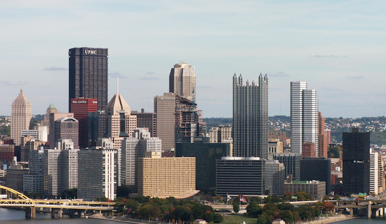
Pittsburgh is starting Tuesday, August 18, with clear skies and temperatures around 64 degrees, but the calm opening will not last all week. Patchy fog may linger before 8 a.m., then sunshine takes over and sends temperatures to a comfortable high near 81.
Sunny Tuesday Gives Way To Storm Chances
Northwest winds will stay light at 2 to 7 mph as the city warms through the afternoon, with no rain expected Tuesday. The National Weather Service Pittsburgh reports no watches, warnings or advisories for the area.
Wednesday Night Looks Wettest
Wednesday will remain partly sunny with a high near 81, but showers and thunderstorms could arrive after 5 p.m. The storm risk rises Wednesday night, when showers and thunderstorms are likely before 11 p.m., followed by rain showers and patchy fog; the chance of precipitation is 70%. Rainfall is generally expected to total between a tenth and a quarter of an inch, though heavier pockets could create localized flooding concerns on already saturated ground.
Cooler, Unsettled Stretch Arrives
Thursday brings likely rain showers and patchy fog before 2 p.m., followed by a chance of showers and thunderstorms, with a high near 78. Friday looks like the week’s best recovery day, with mostly sunny skies, a high near 81 and a low around 63 Friday night.
Weekend Plans May Need A Backup
Saturday will be mostly sunny with a high near 81, but rain shower chances begin in the morning before thunderstorms become more possible later in the day and evening. Sunday stays cooler near 78 with additional shower and thunderstorm chances, while Monday reaches about 77 under mostly sunny skies with only a slight storm chance after 2 p.m.





