

























































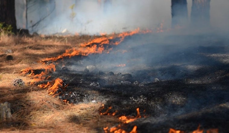
A fast-moving vegetation fire near Lake Shastina forced an evacuation order and several warnings across Siskiyou County on Thursday, before crews stopped its forward spread and authorities began walking back the alert levels by afternoon. The Rose Fire ignited along Rose Bud Lane northeast of Lake Shastina and burned into the Mt. Shasta Vista subdivision, an area with a history of dangerous wildland fires.
CAL FIRE Siskiyou Unit reported the blaze had burned around two and a half acres of vegetation, according to Action News Now. The Siskiyou County Sheriff's Office issued an evacuation order for zone SIS-5120 along with evacuation warnings for zones SIS-5123, SIS-5118, SIS-5227, SIS-5119, SIS-5224 and SIS-5005 as fire equipment worked the scene. The fire's cause remains under investigation, and CAL FIRE asked the public to avoid the immediate area while crews operated.
By Thursday afternoon, CAL FIRE reported that the Rose Fire's forward spread had stopped, and the Sheriff's Office downgraded the evacuation order for zone SIS-5120 to a warning while reducing warnings for zones SIS-5005 and SIS-5123 back to normal status, per the same account. Siskiyou County manages these alerts through the Genasys Protect mapping platform, formerly known as Zonehaven, which lets emergency managers assign alphanumeric zones like SIS-5120 so notifications reach only residents in the fire's actual path rather than triggering countywide alarm.
A Subdivision With a History of Close Calls
Mt. Shasta Vista has faced repeated wildfire threats in recent seasons. In May 2025, CAL FIRE contained the 11.69-acre Pluto Fire in the same subdivision, which similarly triggered an evacuation warning for zone SIS-5120 before it was lifted later that day. Just months before Thursday's fire, in May 2026, CAL FIRE Siskiyou Unit battled the 23-acre Frontier Fire near Harry Cash Road in Mt. Shasta Vista, where ground crews spent extensive time mopping up deep juniper duff that can hide embers.
The subdivision's vulnerability dates back further. During the June 2021 Lava Fire, 23 structures were destroyed, including 14 single residences, and Mt. Shasta Vista was placed under mandatory evacuation orders, according to High Country News. That fire ultimately burned more than 26,000 acres and displaced thousands of residents across the county.
Firefighting Challenges in a Rural Subdivision
Part of what makes Mt. Shasta Vista harder to defend is its infrastructure. Local emergency planning documents note that while the adjacent Lake Shastina development has 350 fire hydrants along improved roads, the rural Mt. Shasta Vista subdivision relies primarily on dirt roads, rural-residential ponds, and water tenders to supply firefighting water, a gap that shapes how crews stage resources when fires break out there.
Thursday's fire arrived amid dangerous fire weather. The National Weather Service in Medford issued a Red Flag Warning for central Siskiyou County, citing minimum humidity levels between 10% and 17% alongside gusty south-southwest winds reaching 30 mph, conditions that accelerate ignition in the region's dry grass and juniper fuels.
A Busy Stretch for Regional Fire Crews
The Rose Fire followed closely on the heels of another incident in the area. Just one day earlier, the Sheriff's Office issued evacuation warnings for zones including SIS-5119 and SIS-5224 due to the 6.1-acre Springs Fire burning near Big Springs Road, a key transportation route through the Shasta Valley. CAL FIRE Siskiyou Unit has responded to numerous multi-acre blazes across the county this season, including the 177-acre Willow Fire in June and the 16-acre Ager Fire earlier in August.
Hoodline has tracked wildfires threatening the county throughout the summer, including a blaze on remote federal forest land in May and another on private land in July. During active evacuations, the Siskiyou County Sheriff's Office operates a dedicated welfare check line, 530-842-8746, to dispatch field officers and confirm the safety of residents in evacuated zones who may be difficult to reach given spotty cell service in the mountainous terrain.




