

























































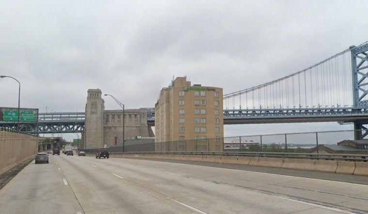
Philadelphia is waking up Saturday under mostly cloudy skies, patchy fog and temperatures around 72 degrees, setting up a damp and unsettled day. Highs should reach only about 77, with showers possible for much of the day before thunderstorms become more likely overnight.
Gray Skies And Showers Stick Around
Patchy fog may linger early Saturday, while rain showers remain possible from the morning through late afternoon. East winds near 5 mph will keep conditions mild, but the chance of precipitation rises to roughly 50% by the afternoon, with most rainfall totals expected to stay below a tenth of an inch.
Overnight Storms Bring A Local Flooding Risk
A chance of showers and thunderstorms remains before 9 p.m. Saturday, followed by likely showers and storms overnight into early Sunday. The National Weather Service Mount Holly says locally heavy rain could cause isolated flash flooding, while stronger storms are possible mainly north and west of Philadelphia after midnight.
Anyone driving late Saturday should avoid water-covered roads, and people caught outside when thunder arrives should move indoors. No watches, warnings or advisories are listed for Pennsylvania, New Jersey or Delaware in the current forecast.
Sunday Afternoon Finally Dries Out
Sunday begins with another chance of patchy fog and a slight chance of showers before 10 a.m., then turns mostly sunny with a high near 83. Conditions should improve after the cold front passes late Sunday morning, with a mostly clear and cooler night settling in around 65 degrees.
Sunny Stretch Arrives Monday
Monday and Tuesday look like the region's best outdoor days, with sunny skies and highs near 80 and 81 degrees. Wednesday warms to about 85, but rain chances return Wednesday night and continue into Thursday and Friday, when showers and thunderstorms are again possible.





