

























































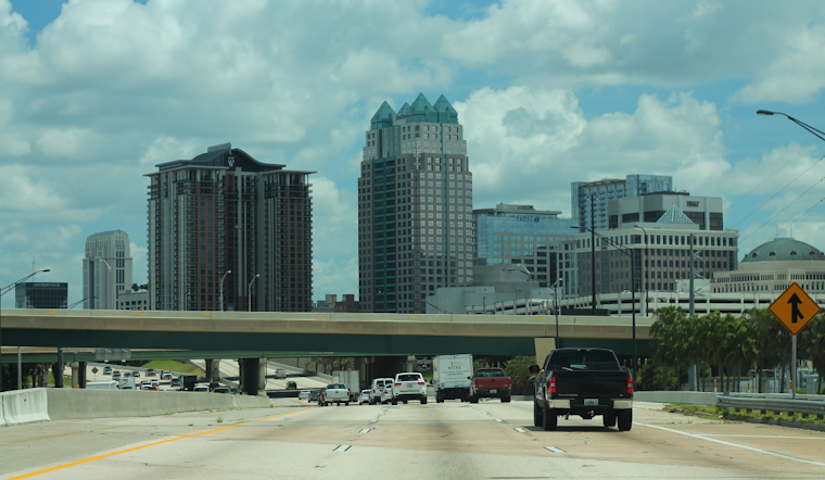
Orlando is starting Monday clear and sticky, with temperatures around 77°F and humidity near 90% before the weather turns more unsettled after noon. The afternoon forecast calls for a 50% chance of showers and thunderstorms, a high near 90°F, and southwest winds around 10 mph with gusts up to 25 mph.
Afternoon Storms Could Bring Sudden Downpours
Storm coverage may be highest south of Interstate 4, with storms moving northeast and potentially interacting with the sea breeze near the coast later in the day. The National Weather Service in Melbourne says stronger storms could produce wind gusts of 45 to 50 mph, frequent lightning and brief, heavy rain.
Most locations should receive less than a tenth of an inch, but forecasters put a 5% to 10% chance on isolated totals of 3 to 4 inches. That kind of rain could briefly flood poorly drained roads, so drivers should be ready for sudden slowdowns and ponding during the afternoon commute.
Rain chances ease tonight, with showers and thunderstorms possible before 10 p.m. Skies should turn partly cloudy, temperatures will settle near 75°F and the forecast package lists no active watches or warnings.
Heat And Storms Continue Through The Week
Tuesday looks mostly sunny early, but another round of afternoon showers and thunderstorms is expected after 1 p.m. Highs should reach about 91°F, while heat-index values may climb from 100°F to 106°F in the steamy air.
Storm chances rise inland Wednesday and Thursday as the Atlantic sea breeze becomes more dominant. Orlando can expect highs near 92°F both days, with thunderstorms increasingly likely during the afternoon and early evening.
Rain chances remain elevated Friday and Saturday as another disturbance may move across Florida, bringing the possibility of locally heavy rainfall. Anyone heading toward Atlantic beaches late this week should also watch for an increasing risk of life-threatening rip currents.





.jpg)