

























































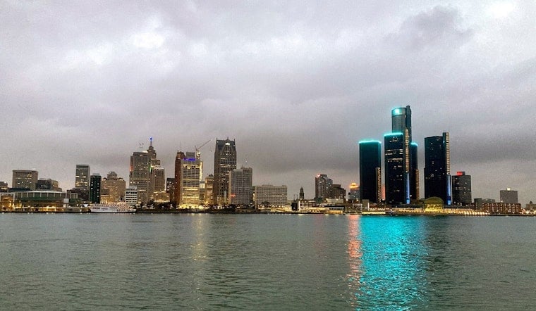
Detroit is starting today near 66 degrees under mostly clear skies, but the calm will not last. Showers and thunderstorms are expected to build through the day, with a cooler, breezier pattern arriving tomorrow.
Storms Strengthen Saturday Afternoon
A chance of showers and thunderstorms begins this morning, with activity becoming more widespread after noon. The high should reach near 80 degrees before temperatures ease toward the upper 70s, and the chance of rain rises to 90%, with a quarter- to half-inch of rainfall possible.
The strongest storms could bring sharply gusty winds, and the National Weather Service says there is a marginal risk of isolated strong to severe thunderstorms this afternoon. No land-based watches or warnings are listed for Detroit, but outdoor plans should include a quick route indoors as storms become more numerous.
Cooler, Windier Weather Takes Over Sunday
Storms should taper this evening, leaving behind mostly cloudy skies and a low near 59 degrees. Tomorrow will be partly sunny with a high around 76, west-northwest winds of 9 to 14 mph and gusts up to 24 mph, plus a slight chance of an afternoon shower or thunderstorm.
For boaters heading toward Lake Huron, northwest winds will become more troublesome Saturday night, with Small Craft Advisories posted for portions of the lake through Sunday night or Monday morning. Conditions should settle down on Monday, when Detroit gets mostly sunny skies and a high near 77.
Sunshine Returns Before Another Warmup
Next Tuesday looks sunny and warmer, with a high near 81 degrees. Mostly sunny conditions continue next Wednesday and Thursday, when highs reach the lower to middle 80s, though a few showers or thunderstorms could return from next Wednesday afternoon through Thursday night.
Friday is forecast to be mostly sunny with a high near 83 degrees, giving the region a brighter finish after Saturday's stormy reset. In short: keep the umbrella handy this weekend, then enjoy a cooler Sunday before summer temperatures rebound.




.jpg)