

























































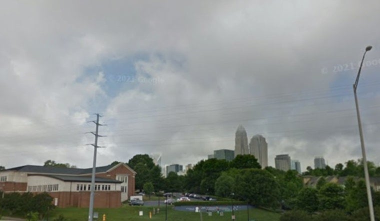
Charlotte starts Thursday cloudy, muggy and near 74 degrees, with patchy fog possible through the early morning. Temperatures will climb to around 89 degrees before scattered showers and thunderstorms become more likely this afternoon and evening.
The rain should be hit-or-miss, but a few storms could bring brief heavy downpours, gusty winds and nuisance flooding in spots. The National Weather Service office serving the region says storms are expected to develop west of Charlotte before shifting east toward the Piedmont later Thursday.
Storm Chances Rise Thursday Afternoon
Rain chances remain limited through midday, then increase during the afternoon as temperatures reach the upper 80s. Storm activity may continue into Thursday night, when the low is expected to settle near 71 degrees and another round of showers or thunderstorms remains possible.
Friday looks slightly cooler, with a high near 87, but it could be the wetter day of the two. Showers and thunderstorms are expected to become more likely between roughly 2 and 4 p.m., with storms potentially continuing into the evening.
Weekend Starts Wet Before Sunshine Returns
Saturday brings another chance of afternoon showers and thunderstorms, along with a high near 86. Sunday should be mostly sunny and warmer at about 88 degrees, offering the first notably drier break after several unsettled days.
The bigger weather shift arrives Monday through Wednesday, when sunshine and rising humidity push highs from around 91 to 94 degrees. Heat indices could reach roughly 100 to 105 degrees in parts of the Charlotte area by midweek, so outdoor plans may become more uncomfortable even as rain chances fade.





