

























































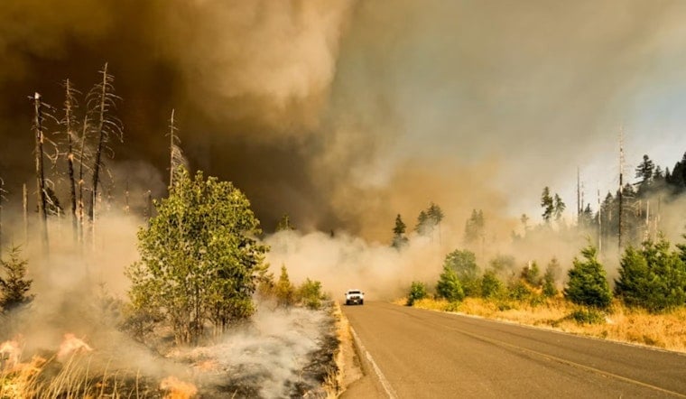
A new wildfire dubbed the Wentworth Fire ignited on private land in El Dorado County in the predawn hours Sunday, and as of the latest update, fire officials have not determined what sparked it or how much of the landscape it has consumed. The blaze was first discovered at 4:29 a.m., according to the National Interagency Fire Center.
What We Know So Far
The fire's cause remains undetermined, and no containment figures have been released, according to a report from the Sacramento Bee, which cited the automated wildfire incident feed. The bare-bones early details are typical of fast-moving initial reports, which often list only an ignition time, land status, and cause before ground crews can map a fire's edges and update the public. It is not yet clear from available information whether the fire threatens homes near Georgetown, Quintette, or Stumpy Meadows, or whether it is burning deeper into private timber holdings closer to the Eldorado National Forest boundary.
The name suggests a likely connection to Wentworth Springs Road, a 31-mile rural route that runs east from Georgetown through the Georgetown Divide toward Loon Lake, cutting through dense timberland and private foothill parcels in northern El Dorado County, according to background compiled by Pashnit. The corridor also serves as a major access route to the Eldorado National Forest and the Rubicon Trail, placing any fire along it in steep, heavily forested terrain that can complicate access for crews.
A Corridor With a Fire History
This is not the first time flames have broken out along this stretch of road. In September 2020, the 500-acre Fork Fire burned off Wentworth Springs Road near Gerle Creek, forcing mandatory evacuations for the nearby communities of Quintette, Volcanoville, and Stumpy Meadows, as reported by ABC10 at the time. The same general area is also home to UC Berkeley's 4,356-acre Blodgett Forest Research Station, which regularly conducts CAL FIRE-authorized prescribed burns off Wentworth Springs Road to reduce fuel loads and build hazard buffers, according to Watch Duty.
Wildland fire protection across El Dorado, Amador, and Alpine counties falls to CAL FIRE's Amador-El Dorado Unit, which maintains a direct protection area of roughly 910,589 acres out of a broader 2,667,841-acre jurisdiction, per the El Dorado County Fire Chiefs Association. Initial attack on rural blazes like this one typically involves mutual aid between CAL FIRE AEU and local protection districts, including the Georgetown Fire Protection District and Garden Valley Fire Protection District, the same source notes.
A Busy Fire Season for the Foothills
The Wentworth Fire adds to what has already been an active summer for CAL FIRE AEU crews in El Dorado County. The unit responded to the 8-acre Happy Fire in late June, the 45-acre Hawk Fire in mid-August, and the 3-acre Newtown Fire on August 25, according to CAL FIRE. Those smaller blazes have so far stayed contained to modest acreage, but the region's history includes far larger disasters.
The 2021 Caldor Fire remains the most destructive blaze in El Dorado County history, burning 221,835 acres across three counties, destroying 1,003 structures, and forcing more than 50,000 residents to evacuate over 69 days, according to the U.S. Forest Service. A year later, the Mosquito Fire burned 76,788 acres across Placer and El Dorado counties in September 2022, becoming California's largest wildfire of that year and triggering widespread foothill evacuations, as previously reported by Hoodline.
The new ignition also lands a day after California legislative leaders and Governor Gavin Newsom announced a major agreement on utility wildfire legislation aimed at managing utility liability, grid safety investments, and wildfire insurance stability across high-risk zones, according to the Sacramento Bee's sister coverage in the Sacramento Bee. That statewide policy push underscores how frequently ignitions like the Wentworth Fire test California's fire prevention and insurance frameworks even as investigators work to determine causes on the ground.
How Residents Can Stay Informed
El Dorado County's Office of Emergency Services directs residents to the county's online Perimeter mapping platform and encourages sign-ups for county emergency alerts ahead of time so evacuation zone and road closure updates arrive in real time during active fires. Given how quickly early incident reports can change as crews perform initial attack and map the fire's perimeter, residents in the Georgetown Divide area are encouraged to monitor official channels rather than rely on early, unconfirmed figures.





