

























































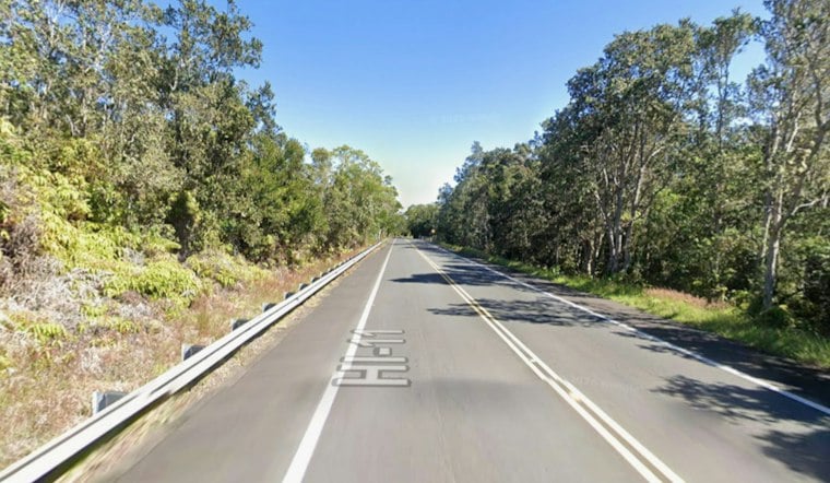
Highway 11 flooded shut again in Kaʻū on Tuesday night, trapping drivers between Punaluʻu and Nāʻālehu with no way around the water and no clear end in sight. The closure came as a flash flood warning covered Hawaiʻi Island, forcing emergency officials to open two shelters for motorists stuck waiting it out.
Warning Triggers Sudden Closure
The National Weather Service issued the flash flood warning for Hawaiʻi Island as flooding was already underway or expected to begin imminently across the Kaʻū and Puna districts, according to Big Island Now. The Hawaiʻi Police Department reported that Highway 11 was closed between the 62-mile marker near the Kaʻū police station and the 56-mile marker by Nīnōle Loop because of flooding on the roadway, the outlet reported. No alternate routes were available for that stretch, and as of publication, no other road closures had been reported elsewhere on the island.
Doppler radar showed rain forming and moving over both districts, with rainfall reaching up to an inch per hour falling onto grounds that were already saturated, per the same account. The rain came courtesy of a persistent plume of tropical moisture that lingered over Hawaiʻi Island after Tropical Storm Lowell moved past the islands earlier in the week, according to Big Island Video News. The flash flood warning followed an earlier flood watch that had briefly been discontinued before the rain intensified again.
Shelters Open as Communities Brace
With no detour and floodwaters rising, officials opened the Robert Herkes Gymnasium in Pāhala to motorists waiting out the closure, while the Nāʻālehu Elementary School gymnasium opened as an evening shelter, bringing the total to two shelters serving Kaʻū. Areas identified as potentially affected by the flash flooding stretched well beyond the immediate closure zone, including Hawaiian Paradise Park, Hawaiʻi Volcanoes National Park, Wood Valley, Volcano, Pāhala, Glenwood, Punaluʻu Beach, Kāwā Flats, Mountain View, Hawaiian Acres and Nāʻālehu.
State emergency officials have repeatedly urged drivers never to attempt crossing flowing water or bypass road closure barricades during flash flood warnings, invoking the “Turn Around, Don't Drown” rule because of how quickly currents rise and how easily washouts can hide beneath the surface, according to the Hawaiʻi Emergency Management Agency.
Ground Still Raw From Hurricane Lala
This is not the first time this stretch of Highway 11 has failed Kaʻū residents in recent weeks. Less than a month earlier, Hurricane Lala tore through the district with catastrophic flooding that washed out sections of the highway fronting Pāhala Hospital, leaving soils across the region severely saturated, according to the Hawaii Department of Transportation. HDOT crews needed nine days of emergency work to repair the washout there. That saturation is part of why Tuesday's rain turned into flash flooding so quickly.
Hurricane Lala's floodwaters proved deadly, killing two people in the rural Kaʻū District in August, including a 93-year-old woman in Nāʻālehu and a man in his 60s found near Highway 11, Hoodline previously reported. Both victims were found in rural fields after heavy runoff and mudslides swept through the area.
Why There's No Way Around
The stretch between Pāhala and Nāʻālehu is especially vulnerable because the Kāwā Flats area, between mile markers 56 and 59, is a chronic low-lying flood zone where state officials have long planned to elevate the highway and build a bridge to keep traffic moving during major storms, according to Kaʻū News via Facebook. When that section closes, drivers typically look to Kaʻalaiki Road — the old cane haul road — as a bypass, but it traverses several low-water crossings that flood during heavy downpours, according to Big Island Thieves Media via Facebook. That leaves communities like Nāʻālehu and Pāhala effectively cut off whenever both routes flood at once.
The stakes of that isolation are heightened by the fact that Highway 11, also known as Māmalahoa Highway, is the sole southern arterial route encircling Hawaiʻi Island, linking Hilo in the east to Kailua-Kona in the west through Puna and Kaʻū, according to the County of Hawaii Planning Department. Because no public highways cross the interior slopes of Mauna Loa, all southern coastal traffic — including emergency services — depends entirely on this single corridor.
Part of a Larger Pattern
Tuesday's closure echoes a similar flash flood event in March, when a strong Kona Low forced comparable closures on Highway 11 at Kāwā Flats and Wood Valley Road, as Hoodline reported at the time. That storm system funneled deep tropical moisture across the Big Island over several days, underscoring how frequently this corridor has failed in 2026 alone.
The repeated flooding has also hit Kaʻū's agricultural community hard. Persistent flooding this year damaged rural farms and ranches badly enough that the Hawaiʻi Farmers Union Foundation issued emergency recovery grants, which local farms used in part to buy backup generators for multi-day power outages, Hoodline has reported. Meanwhile, HDOT was managing storm damage well beyond Kaʻū on Tuesday, simultaneously repairing shoulder washouts on Maui's North Cīhei Road and clearing fallen trees on Kauaʻi, according to the department.





