

























































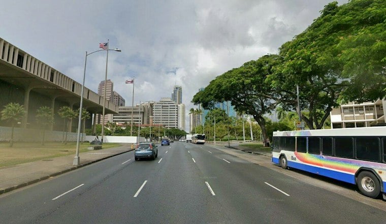
Honolulu is heading into a breezy Friday with scattered showers. Temperatures should reach about 88 degrees, and conditions may feel warmer than the air temperature. East-northeast trade winds are expected to keep conditions blustery, with the National Weather Service Honolulu forecast calling for a 30% chance of rain and gusts reaching about 28 mph.
The greatest shower chances are expected from the morning into early afternoon. Overnight showers and thunderstorms could linger into the early morning, so a brief downpour remains possible during the commute or at the start of outdoor plans. Rainfall is not specifically forecast to produce flooding, but conditions can change quickly beneath heavier showers.
A Breezy Weekend Follows
A Breezy Weekend Follows
The pattern may become wetter again from Tuesday through Thursday as additional moisture moves toward the islands. The period from Tuesday through Thursday could bring additional moisture and potentially heavier showers. The National Weather Service Honolulu forecast discussion describes the broader period as one in which trade winds, passing showers and returning moisture remain important factors.
What the Heat Index Does—and Does Not—Show
A heat index measures how hot conditions may feel when heat and humidity are combined; it is not the same as the forecast air temperature. The National Weather Service Honolulu climate report lists a normal September 18 high of 88 degrees and a normal low of 75. Those normals provide a seasonal reference for Friday’s temperature, but they do not establish how rare a 97-degree heat index is.
Showers, Streams and Surf
The Hawai‘i Emergency Management Agency advises people to avoid streams and low-lying areas when rain clouds are present because flash flooding can occur. That is a general safety precaution rather than a prediction that Friday will bring flooding.
Trade winds should also keep east-facing shores choppy. A south swell is expected to build toward near-advisory levels Saturday, while north-facing shores should remain flat to tiny through the period, according to the National Weather Service Honolulu discussion. The agency explains that surf heights in forecasts and observations refer to the wave’s full face, measured from trough to crest, so a forecast height is not a measure of the breaking wave at every beach.
The main uncertainties are the exact location and intensity of passing showers, along with how quickly conditions change near the coast and in windward areas. For Friday, residents and visitors should plan for strong trades, carry rain protection and avoid streams or low-lying areas if a heavier shower develops.





