

























































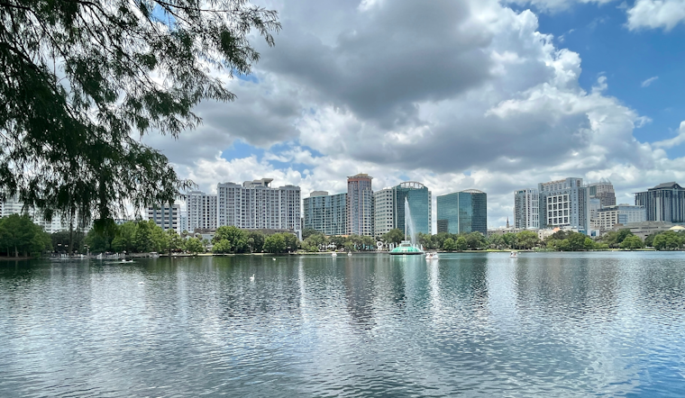
Orlando is starting Tuesday around 79 degrees under mostly clear skies, but the calm morning will not last. A few showers could develop around 9 a.m., with thunderstorms becoming increasingly likely from late morning through the afternoon.
Storms Could Bring Heavy Rain And Strong Gusts
The National Weather Service in Melbourne is calling for a 70% chance of rain Tuesday, with the greatest storm activity expected between late morning and early evening. Slow-moving storms could drop 2 to 3 inches of rain quickly, leading to ponding and minor flooding in urban, low-lying and poorly drained areas, according to the National Weather Service.
Stronger storms may produce wind gusts of 40 to 50 mph, along with frequent lightning and locally heavy downpours. East Central Florida is under a marginal risk for excessive rainfall, so outdoor plans and afternoon travel could get messy in a hurry.
Heat Stays Muggy Before The Downpours
Temperatures are expected to reach about 91 degrees, while heat indexes climb as high as 105. Northeast winds will run around 5 to 10 mph, and temperatures may drop toward the low 80s during the afternoon as storms move through.
Showers and thunderstorms are likely before 8 p.m. Tuesday, followed by lingering chances through roughly 10 p.m. Skies should turn mostly cloudy overnight, with a low near 76 degrees.
Wet Pattern Continues Through Labor Day
Storm chances remain unusually high for the rest of the week, with an 80% chance forecast Wednesday and Thursday and additional storms likely Friday through Labor Day. Highs will stay mostly in the low 90s, with muggy heat indexes again reaching the triple digits.
No watches, warnings or advisories are currently listed for the Orlando area. Still, residents should move indoors when thunder is heard, avoid flooded roads and plan heat-sensitive errands for the cooler morning hours.





.jpg)