

























































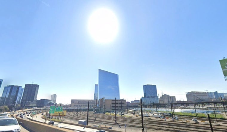
Philadelphia wakes Tuesday under mostly cloudy skies and temperatures in the mid-70s, but the city is headed for a much hotter afternoon. The high is expected to reach 92 degrees, with the heat index near 100 before thunderstorms become the bigger concern.
A National Weather Service Heat Advisory is in effect from noon to 8 p.m. Tuesday. Southwest winds of 5 to 10 mph will offer little relief, making outdoor work, exercise and long stretches in direct sun especially uncomfortable.
Storms Could Turn Severe After 5 P.M.
Showers and thunderstorms could develop late Tuesday, with the region's strongest storms most likely between roughly 5 p.m. and midnight. Damaging wind gusts, large hail and an isolated tornado are possible, while brief heavy downpours could cause localized street flooding in urban areas.
Philadelphia has a 30% chance of precipitation during the day, rising to about 60% Tuesday night as storms remain possible into the overnight hours. The storms may be scattered rather than continuous, but conditions can change quickly once they begin.
Wednesday Cools Down Before Thursday Reheats
Wednesday brings a break from the worst of the heat, with a high near 84 degrees, but humidity will remain high and another round of showers and thunderstorms is possible from late morning into the afternoon. Storm chances continue Wednesday night before Thursday turns hot again, with a high near 92 and thunderstorms likely.
Friday turns mostly sunny with a high near 87, and the holiday weekend is shaping up cooler, drier and less humid. Saturday and Sunday should reach the low 80s, while Labor Day brings a high near 80 and a 30% chance of showers.
Heat Safety Comes First Tuesday
Drink plenty of water, take breaks in air conditioning or shade, and move strenuous outdoor plans to early morning or evening. The Philadelphia Department of Public Health recommends checking on older adults, neighbors who live alone and anyone without reliable air conditioning.





