

























































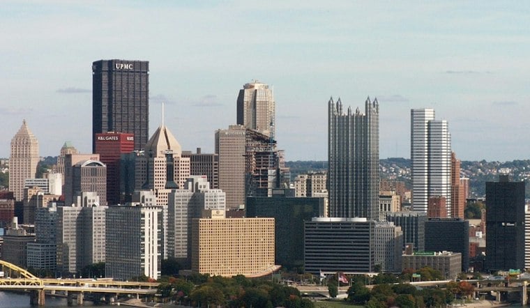
Pittsburgh gets one more summery push Wednesday, with low cloud decks early, temperatures climbing into the mid to upper 80s and humidity building ahead of afternoon storms. The first part of the day should be ideal for outdoor plans, but the forecast turns more complicated after lunch as showers and thunderstorms become possible.
Storm Chances Rise Wednesday Afternoon
Temperatures will climb through the 80s beneath low VFR cloud decks, with southwesterly surface flow and light southerly breezes. The National Weather Service’s Pittsburgh office forecasts low-probability showers and thunderstorms during the afternoon and evening.
Scattered storms could bring brief heavy rain, and the weather service says localized flooding remains possible if storms repeatedly move over the same areas. The overall severe-weather risk is low but not zero, so a few storms could also produce gusty winds.
Thursday Stays Stormy Before Friday Clears
Scattered showers and thunderstorms are possible Thursday, according to the National Weather Service.
Thursday night remains unsettled, with storms likely early and a low around 70. Friday finally brings a reset: mostly sunny skies, a high near 80 and a cooler night dropping to about 59.
Weekend Forecast Turns Unsettled Again
Saturday starts mostly sunny with a high near 80, but showers and thunderstorms may develop after 2 p.m. The bigger concern arrives Saturday night, with rain chances reaching 75% late Saturday into Monday.
Sunday is expected to be mostly dry, with a high in the mid-80s, though rain and thunderstorm chances remain in the forecast. Rain and storm chances may last into early next week, while the pattern by the middle of the following week remains uncertain.



