

























































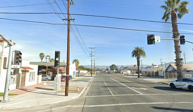
Riverside is developing a redesign for Main Street between Third Street and the 60 Freeway, with safety and access for people driving, cycling and walking among its aims. The South Main Complete Streets Project is backed by an $11.1 million federal Safe Streets for All grant, according to the City of Riverside.
Ideas under consideration include more business parking, wider sidewalks and bike lanes, The Press-Enterprise reports. The design is still being developed: the city has not announced a construction schedule or final parking count.
A downtown corridor in a broader mobility picture
South Main is one corridor within a wider effort to improve downtown connections for people walking and biking. A 2021 Federal Transportation Improvement Program listing by the Southern California Association of Governments described proposed bicycle and pedestrian improvements in downtown Riverside and adjoining areas, including 17 miles of bike lanes and 2,500 feet of connecting sidewalks. That listing provides broader planning context; it does not establish that those improvements were completed or specify what will be built on South Main.
Parking is another constraint for the redesign to consider. For downtown Riverside generally—not specifically the project segment—the city says normal-business-hour parking is governed by time limits and paid services, including curbside meters and city-managed lots and garages, according to Riverside Public Works. The South Main plan’s eventual parking arrangements have not been finalized.
Local precedent, with limits
Riverside has also installed traffic-calming measures on another street. In its April 9, 2025–April 9, 2026 year-in-review, Ward 1 Councilmember Philip Falcone’s office reported speed humps on Ramona Drive between Magnolia and Brockton avenues. The report does not give an outcome, and the installation is not evidence of how South Main’s still-undeveloped design would perform.
Main Street’s history adds another layer to the planning discussion. The Press-Enterprise reports that the street was established in 1870 by John W. North and the Southern California Colony Association, and that portions were closed in 1966 to create the Main Street Pedestrian Mall. The present proposal concerns a different stretch of the street, where vehicle traffic continues.
Public review comes before a construction decision
The city’s planning process includes community workshops. A session listed for Tuesday at 6 p.m. at the Riverside Salvation Army Corps, 3695 First St., is intended to let attendees review and discuss a preferred design, according to the project materials.
The city says a final report could go to the Riverside City Council between fall 2026 and winter 2027. Until the design advances, the specific trade-offs among parking, sidewalks, bike lanes and vehicle movement—and when construction might begin—remain unsettled.





