

























































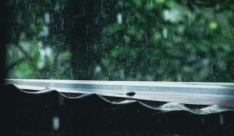
Seattle woke Wednesday to cloudy skies and a brisk south-southeast breeze, with temperatures around 61 degrees near Boeing Field. The gray cover is giving way to a wetter, windier day, with rain arriving after 10 a.m. and temperatures slipping from a forecast high near 69 into the mid-60s by afternoon.
Rain Arrives Before The Afternoon Commute
The rain chance rises through late morning, reaching 90% for the daytime period, with up to a quarter-inch possible. South winds are forecast at 7 to 12 mph in Seattle, with gusts as high as 21 mph, while the National Weather Service expects stronger winds across exposed coastal and northern areas.
That makes Wednesday a day for a jacket, an umbrella and a little extra patience on the roads. Rain remains likely Wednesday night, with a low near 55, and showers could linger Thursday as another cool, unsettled day brings a high near 67.
Water Conditions Turn Rougher
People heading onto Puget Sound or Hood Canal should take note of the Small Craft Advisory in effect through 11 p.m. Wednesday. Gale Warnings are posted for Admiralty Inlet and northern inland waters, while offshore seas are expected to build before easing later Wednesday and Thursday.
Showers Ease, But Summer Doesn’t Fully Return
Friday brings only a chance of light rain and a high near 68. Saturday looks mostly sunny near 69, followed by a mostly sunny Sunday near 71 before slight rain chances return Sunday evening and continue into Labor Day.
The extended forecast keeps highs mainly in the upper 60s to low 70s, with the cooler pattern continuing through the weekend. It is a sharper update from Hoodline’s earlier outlook, with Wednesday’s rain timing and wind impacts now more clearly defined.





