

























































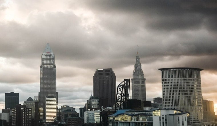
Cleveland is waking up to light rain, fog and muggy air Thursday morning, with temperatures around 72 degrees. The brief wet start is only the opening act: Cleveland and surrounding western Ohio are expected to reach the low 90s, with thunderstorms and heat indices in the upper 90s to low 100s. The weather turns more unsettled again tonight and Friday before a noticeably calmer Labor Day weekend.
Thursday Starts Wet, Then Turns Hot
Isolated morning convection should subside after 08Z, approximately 4 a.m. EDT, with renewed thunderstorm potential after 16Z, approximately noon EDT. According to NWS Cleveland, another round of storms could develop from midafternoon into the evening, with west winds near 8 mph.
A Heat Advisory has been issued for parts of central and western Ohio this afternoon, underscoring how much heat and humidity remain packed into the region. Cleveland's humidity is expected to produce heat indices in the upper 90s to low 100s across central and northwestern Ohio, even as scattered rain briefly cools some neighborhoods.
Storm Risk Builds Again Tonight
Storm chances increase Thursday night, with showers and thunderstorms likely after 11 p.m. and a low near 72 degrees. Forecasters say some storms today and Friday could bring damaging wind gusts and large hail, with an isolated tornado also possible, according to NWS Cleveland.
Persistent downpours could also trigger localized flooding, especially from Thursday night into Friday. If thunder rolls in, move indoors promptly and avoid driving through water-covered streets, even if the road looks passable.
Friday Brings More Rain Before The Pattern Breaks
Friday brings additional showers and thunderstorms, with cooler temperatures. A shortwave is expected to enter during midmorning, and storm chances continue before a cold front pushes south early Saturday.
Saturday may start with a final shower or thunderstorm chance, but skies should turn partly sunny with a high near 78. By Saturday night, temperatures drop to overnight lows in the upper 50s to low 60s under quiet conditions, setting up a sunny Sunday near 78 and a mostly sunny Labor Day near 79.
Cooler Holiday Plans Get The Green Light
That is a meaningful reset from the steamy stretch Hoodline previously tracked, when the focus was on several days of heat building across the region. The pattern is expected to stay quiet into early next week.




