

























































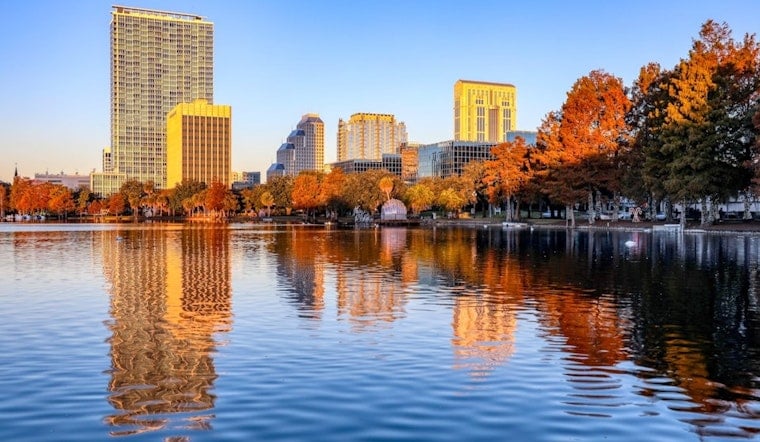
Orlando is starting Thursday clear and near 79 degrees, but the calm morning is expected to give way to a stormier afternoon. Humidity is already running high, and showers could develop before thunderstorms become more likely later in the day.
Storms Build From Late Morning Into Evening
Temperatures should climb into the upper 80s by late morning before reaching about 91 degrees. A few showers are possible between 8 and 11 a.m., with thunderstorm chances increasing after 11 a.m. and storms becoming likely after 1 p.m.; the heat index could reach 102.
The National Weather Service says slow-moving storms could drop 2 to 3 inches of rain quickly, creating ponding and minor flooding in urban, low-lying or poorly drained areas. Stronger storms may also produce wind gusts near 40 mph and frequent cloud-to-ground lightning, though no watches, warnings or advisories are posted for Orlando.
Wet Pattern Holds Through Labor Day
Friday should reach 92 degrees, with showers and thunderstorms likely after noon. Saturday and Sunday stay hot near 93 and 92 degrees, respectively, with storm chances around 70%, while Labor Day Monday brings a 90% chance of showers and thunderstorms beginning after 8 a.m.
The latest outlook adds a sharper heavy-rain and flooding concern to the storm pattern covered in an earlier Hoodline forecast. Outdoor plans may need flexibility through the holiday weekend, and anyone who hears thunder should move indoors, avoid standing water and allow extra time for slick roads and sudden visibility drops.




