

























































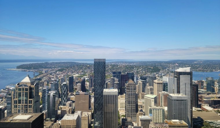
Seattle is waking up Saturday, September 19, to low stratus and fog around sunrise in parts of the Puget Sound area, while mostly clear conditions are expected elsewhere and later in the day. The city should warm to about 71 degrees, giving residents a dry window for parks, patios, errands, and whatever else looks better without an umbrella.
Foggy Start, Sunny Afternoon
Some Seattle neighborhoods could see low clouds or patchy fog around sunrise, but that shallow gray layer should lift by late morning or around midday. The National Weather Service expects light winds and no rain Saturday, with partly sunny skies giving way to mostly sunny conditions through the afternoon.
Saturday night should bring another round of low clouds and patchy fog, with temperatures dropping into the mid-40s to lower 50s. Winds will remain light from the north.
Sunday And Monday Keep The Weekend Warm
Sunday looks much like Saturday’s afternoon setup: mostly sunny, dry, and near 71 degrees, after another cool start with lows in the mid-40s to lower 50s. Monday should hold onto the same comfortable pattern, with mostly sunny skies and a high near 71.
The forecast calls for dry conditions through Monday, though the week ahead will gradually turn cooler. An earlier Hoodline forecast highlighted the city’s sunny warmup, and the newest outlook keeps that pleasant stretch going through the start of next week.
Rain Chances Creep Back Midweek
Tuesday should be partly sunny with a high near 68 degrees, but temperatures dip into the mid-60s by Thursday and Friday. Seattle has a slight chance of showers Wednesday, and the forecast includes a slight chance of precipitation by Friday.
For now, the practical forecast is simple: cool mornings, mild afternoons, and mostly dry conditions through Monday. A light jacket may be useful before breakfast, but by afternoon, Seattle should be offering the sort of September weather that makes leaving the house feel like a reasonable idea.




