

























































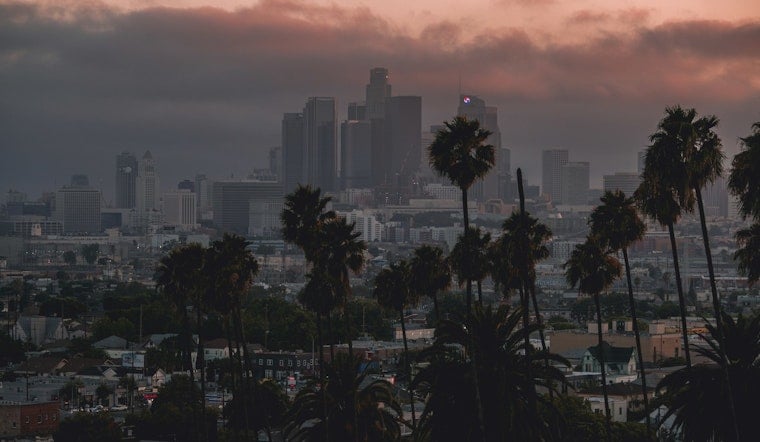
Los Angeles is starting Monday warm and unusually humid, with temperatures around 72 degrees downtown and gusty north winds already pushing toward 30 mph. A few showers could pass through before the afternoon ends, and the heat is set to build quickly over the next few days.
Showers And A Few Storms Possible Monday
Downtown Los Angeles is forecast to reach about 89 degrees Monday, with a 30% chance of rain before 5 p.m. The best window for unsettled weather runs from the morning into the afternoon, when isolated thunderstorms could bring lightning or a brief heavy downpour.
Rainfall should remain light overall, with less than a tenth of an inch expected in most spots. Anyone heading outside should keep an eye on changing skies, especially near midday, when the forecast includes a slight chance of thunderstorms across much of Los Angeles County.
Heat Builds Through Thursday
Tuesday should be mostly sunny with a high near 92 degrees, followed by a hotter Wednesday around 95 and Thursday near 93. Nights will stay warm as well, with lows in the low 70s through midweek, making the coming heat feel especially sticky after sunset.
The pattern finally eases Friday, when temperatures are expected to fall to about 88 degrees, followed by sunny and milder conditions in the mid-80s this weekend. Along the coast, a strong south swell will continue creating dangerous surf and rip-current conditions through Tuesday night, with high-surf and coastal-flood advisories in effect for exposed beaches.



