

























































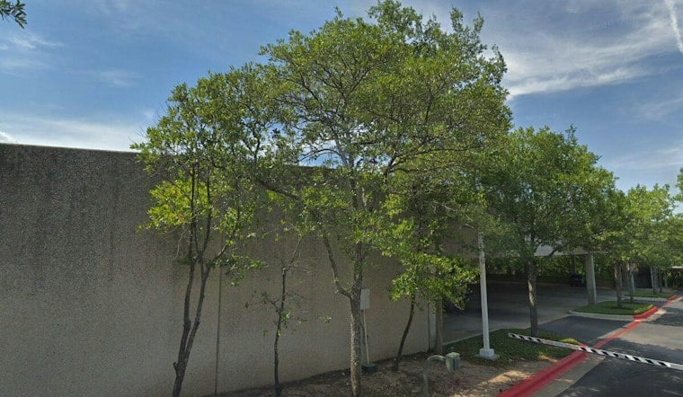
Austin City Council voted on Oct. 8 to approve rezoning for a proposed multifamily development on the west side of Loop 360, clearing the way for up to 475 apartments on a site that currently holds office buildings and a parking garage. The decision came over objections from Lost Creek neighbors who say the stretch of highway is already one of the most dangerous in the area, and that the city underestimated how much new traffic the project would bring.
The rezoning, approved for the properties at 1120 and 1122 S. Capital of Texas Highway, changes the land from LO and LR zoning to LO-V-DB90, according to a discussion at the Austin Zoning and Platting Commission meeting in April. As reported by Community Impact Newspaper, the change allows a denser mixed-use project with potential commercial and residential space on a site that measures over 15 acres. The proposed development includes 475 multifamily units and an affordable-housing component, and may also include ground-level retail and commercial uses.
A zoning change review sheet filed with the city lists the project at 139,776 square feet of office space alongside the 475 multifamily units and 7,200 square feet of commercial space, though that figure carries lower confidence than the unit count cited elsewhere in the record. Austin city staff recommended approval of the rezoning request, saying the project aligns with council goals by providing more residential density and increased affordability, per the same account from Community Impact.
Neighbors Say the Road Is Already a Danger Zone
Lost Creek neighborhood community members expressed concerns about increased traffic on Loop 360, where both the development's entrances and the neighborhood's entrances are located. Properties immediately west of the site, including the Lost Creek neighborhood, sit in Austin's extraterritorial jurisdiction after being deannexed through an election permitted by House Bill 3053, the outlet notes.
Ann Howard, in a letter to Austin City Council, requested that the council delay its rezoning decision until a traffic impact analysis could be conducted. Howard said this stretch of 360 is known to have more crashes than others and is among its most dangerous sections. Lost Creek residents disputed the accuracy of the city's traffic estimate and raised concerns about emergency access, peak-hour congestion, turning movements and U-turns.
Resident Scott Smith said the traffic-analysis waiver uses a baseline that does not reflect actual conditions, calling for a closer look at peak-hour congestion, turning movements and U-turns at the intersection. Smith also said the intersection is dangerous, noting that white bikes — often used as roadside memorials for crash victims — can be seen along the road, the article states. Lost Creek residents additionally cited potential environmental impacts, including increased vehicles in the Eanes Creek watershed.
Why the City Says No Traffic Study Was Required
The city stated that a traffic impact analysis was not required because expected proposal traffic did not exceed city code thresholds. Under Austin's land development code, zoning projects expected to generate fewer than 2,000 vehicle trips per day do not require such an analysis, a threshold city staff applied in clearing this project for approval.
A valid petition opposing the rezoning request was filed for the District 8 case, according to the City of Austin. Despite that opposition, the rezoning request ultimately passed, with Council Member Marc Duchen voting against it.
Ellis Pushes for Safety Coordination as Project Moves Forward
Council Member Paige Ellis voted in support of the rezoning, saying southwest Austin needs housing and smaller-footprint homes for people seeking that type of housing. Ellis added a motion asking that the subsequent site-plan process ensure the city, TxDOT and other government partners coordinate safety improvements on the affected stretch of Loop 360.
Those proposed safety improvements focus on safe routes to schools, signal timing, illegal U-turns, crosswalk safety and a sidewalk along Westbank Drive to Westlake High School, per the council discussion. Ellis said traffic safety issues are her foremost concern and that she is committed to ensuring southwest Austin residents' safety regardless of city limits. TxDOT's broader Loop 360 Program is intended to upgrade multiple intersections along the corridor to improve mobility and safety, according to the Texas Department of Transportation, though a 2018 project description from the agency had called for removing the mainlane signal at the Westlake Drive intersection and adding either an overpass or underpass as part of a nine-intersection upgrade.
The Loop 360 vote follows a pattern playing out elsewhere in Austin, where council also approved a Circle C rezoning for up to 1,000 apartments after similar debate over traffic, school capacity and housing needs, according to the Austin American-Statesman. For now, the Loop 360 site remains office buildings and a parking garage, with the next phase of review — the site-plan process — expected to determine how the safety commitments Ellis sought actually take shape.





