

























































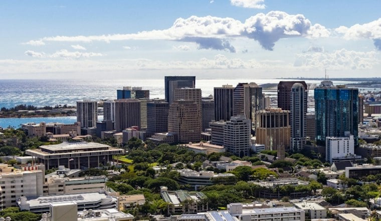
Honolulu is starting Wednesday under mostly clear, mild conditions, but the forecast points to a breezier pattern as trade winds strengthen Thursday and continue into the weekend. The National Weather Service Honolulu forecast discussion describes trades building to breezy levels and showers favoring windward and mauka areas, with showers becoming more likely later in the week. The timing and location of individual showers remain uncertain.
The NWS discussion lists no watches, warnings or advisories for the Honolulu area. That status is distinct from a forecast of stronger winds: according to the Hawaii Emergency Management Agency’s 2023 State Hazard Mitigation Plan, a Small Craft Advisory is issued for coastal waters when winds of 28 to 37 mph and seas of 10 feet or higher are occurring or forecast. The broad forecast does not establish that those sea conditions will occur.
A separate Oahu rain event offers a different kind of context
Passing trade-wind showers should not be confused with a documented flash-flood episode. The National Weather Service Honolulu’s account of the March 19–24, 2026 event says heavy rain over eastern Oahu on March 23 rapidly raised Manoa Stream, which overflowed and inundated nearby parking lots, roads and an elementary school with water and several inches of mud. That was a separate event, not evidence that this week’s forecast will bring comparable rainfall or flooding.




