

























































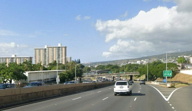
Honolulu is starting Monday with mostly clear skies before temperatures climb to a summery 87 degrees. The holiday forecast stays mostly sunny and warm, with light to moderate east-northeast winds adding a little breeze to the afternoon.
The National Weather Service forecast calls for winds of 3 to 14 mph Monday, with gusts reaching 18 mph. Overnight skies should remain mostly clear, with temperatures settling near 75 degrees.
Spotty Showers Return Tuesday
Tuesday brings a small shift, with isolated rain showers possible while the day remains mostly sunny. The chance of rain is about 20%, and the high should again reach 87 degrees as east-northeast winds increase to 10 to 15 mph, with gusts up to 21 mph.
Showers will be more likely in windward and mountain areas, while Honolulu and other sheltered leeward spots may stay largely dry, according to National Weather Service. Wednesday follows a similar pattern, with a high near 86 degrees, scattered brief showers and winds around 12 mph.
Trade Winds Strengthen Into The Weekend
The breeziest weather arrives later in the week. Winds are expected to build to 13 to 17 mph Thursday, around 17 mph Friday and roughly 20 mph Saturday, with gusts as high as 28 mph.
By Sunday, east-northeast winds could reach 21 to 24 mph, with gusts up to 35 mph. Isolated showers remain possible through the weekend, but the overall pattern stays mostly sunny, and no watches, warnings or advisories are currently in effect.
Why Rain and Trade Winds Vary
Oahu’s terrain helps explain why windward communities tend to see more showers than sheltered leeward areas: the National Weather Service Honolulu says moist air rises over windward slopes, bringing more clouds and rainfall. The agency also notes that the Pacific High, which helps drive Hawaii’s trade winds, is generally stronger and more persistent in summer than in winter.





