

























































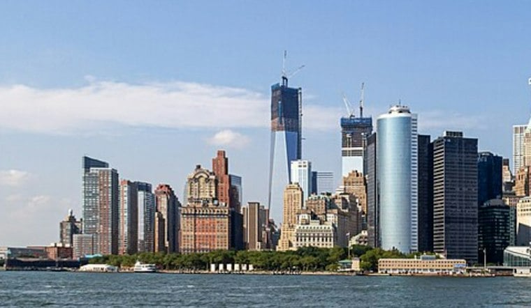
New York City is starting Thursday with clear skies and temperatures around 58 degrees, but the calm is a one-day deal. The city should reach near 64 under mostly sunny skies, with northeast winds of 6 to 12 mph. Rain arrives after 2 a.m. Friday, setting up a wet, blustery turn into the weekend.
Friday Brings Rain, Then Possible Thunderstorms
Showers are likely Friday morning, followed by a warmer afternoon near 74 degrees before a second round of showers and possible thunderstorms arrives mainly Friday evening, according to the National Weather Service. Rainfall could total around a half-inch, with locally higher amounts possible if heavier downpours or thunderstorms develop. No major impacts are expected at this time, though brief heavy rain and gusty winds could make the evening commute messy.
Sharp Cooldown Arrives Friday Night
A cold front will sweep through Friday night, turning winds west and northwest and bringing the coolest air mass of the season so far. Saturday will be mostly sunny after a chance of an early shower, but temperatures will struggle to reach 52 degrees while northwest winds run 16 to 21 mph. The forecast calls for a chilly Saturday night near 43 degrees, a much different setup from Friday’s springlike high.
The stronger weekend cooldown is a notable shift from Hoodline’s Wednesday forecast, which focused on the city’s brief warm spell before the front arrived.
Sunny Weather Returns Sunday
Sunday looks like the cleanest outdoor window of the weekend, with sunny skies, lighter winds and a high near 56 degrees. The mild-up continues next week, with highs around 61 Monday, 64 Tuesday and 63 Wednesday under mostly sunny to sunny skies. Thursday is the best day for light layers and outdoor plans; by Friday, keep the rain gear and a warmer jacket within reach.





