

























































Rain, falling temperatures and gusty north winds are expected to replace recent warmth in Norfolk on Saturday. The National Weather Service in Wakefield forecasts a high near 61 early, then temperatures falling into the low 50s during the afternoon. Rain may continue into the evening.
Saturday rain gives way to a larger coastal flood concern
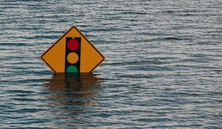
Coastal gusts could reach 45 to 50 mph. A Coastal Flood Advisory runs from noon to 6 p.m. for low-lying areas near shorelines and tidal waterways, where up to 1 foot of flooding is possible. Some roads may close; drivers should not go around barricades or enter water of unknown depth.
Sunday is forecast to be partly sunny, with a high near 63, but northeast winds around 21 mph and gusts up to 32 mph could make it feel colder. The coastal flood threat is expected to grow again Monday: a Coastal Flood Watch is in effect from Monday afternoon through Tuesday morning, with 1 to 2 feet of inundation possible in low-lying coastal and tidal areas. Additional flooding could last into midweek.
Why Norfolk’s location matters—and what the forecast does not show
The City of Norfolk says the city’s low elevation and proximity to waterways make it susceptible to flooding. Properties near natural waterways face added risk from tidal inundation and wind-driven flooding. That describes the city’s general exposure, not which locations will flood during this forecast. Residents can use the city’s Forerunner website to check flood zones and property-specific risk.
There is also broader regional context, but it cannot determine the impact of this week’s system. The U.S. Geological Survey says land subsidence and rising sea levels in the southern Chesapeake Bay region can contribute to coastal flooding. Its measurements at extensometer sites in Franklin, Suffolk and Nansemond show subsidence rates on the order of millimeters per year; those are not measurements of Norfolk’s land movement or of this week’s flooding. (USGS regional monitoring; USGS subsidence information.)
A historical comparison also needs limits. The National Weather Service’s assessment of Hurricane Isabel, which struck the region September 18-19, 2003, records a storm-tide crest of 7.53 feet NGVD 1929 at Sewell’s Point at 1600 on September 18. That is a measurement from a past hurricane, not a prediction for this week; it should not be read as equivalent to the forecast inundation amounts. (National Weather Service Isabel assessment.)
Cool, breezy conditions continue into next week
Rain chances are forecast to continue Monday through Thursday, generally at 20% to 40%, with highs in the mid-60s. Friday is forecast to reach about 91 degrees, with southwest winds and no rain expected. Residents near flood-prone roads and waterfront property should monitor updates as the offshore storm system develops, allow extra travel time and avoid driving through flooded areas.





