

























































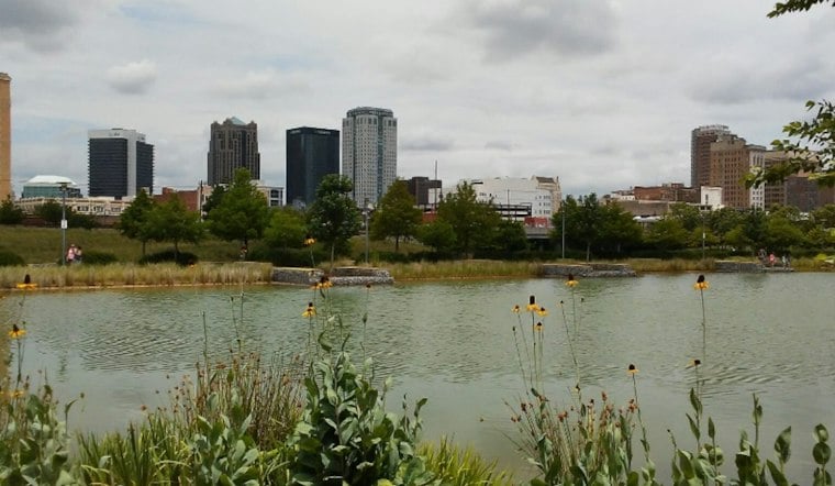
Birmingham is starting Sunday with overcast skies and temperatures around 73 degrees, but the dry-looking morning is only a temporary truce. Showers and thunderstorms are expected to become widespread by late morning and continue through the afternoon, with a high near 79.
Storms Take Over Sunday
Rain chances rise to about 70% by late morning and around 80% through the afternoon, when east winds should remain light at roughly 5 mph. The National Weather Service says central Alabama could see 1 to 2 inches of rain between I-20 and I-85, and 2 to 3 inches along and south of I-85, with locally higher amounts possible.
The area is forecast to receive roughly 1 inch of rain by Sunday night. Storms may continue before midnight, followed by a chance of showers and patchy fog after midnight as temperatures fall to around 64.
Sunny Turn Starts Monday
Monday brings a sharp reset, with partly sunny skies and a high near 84 before a mostly clear night drops to around 60. Tuesday through Friday look sunny and seasonable, with afternoon highs between 82 and 84.
Showers are possible Thursday through the weekend. The updated outlook also marks a meaningful shift from the weekend forecast covered by Hoodline on Saturday, with Sunday's timing and the clearer, warmer week ahead now more firmly defined.





