

























































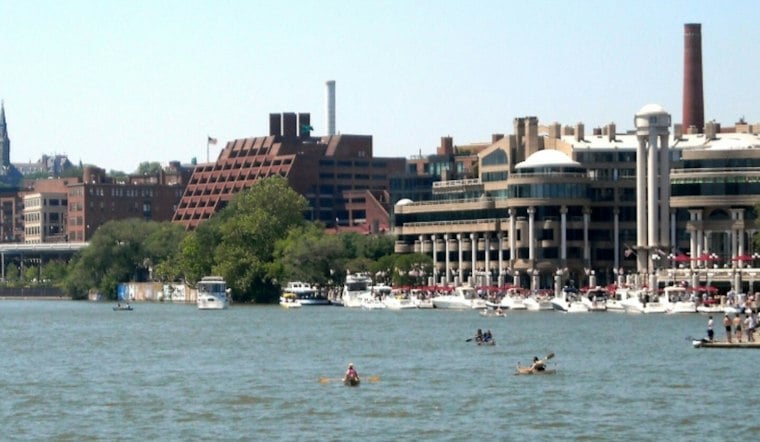
Washington is waking up to clear skies Thursday, with temperatures climbing from the upper 50s into a sunny afternoon near 77 degrees. The day will stay dry, but a breezy west wind could gust to around 20 mph, making it feel more like a crisp fall day than a lingering summer encore.
Afternoon Winds Pick Up Before A Cool Night
Thursday afternoon will be bright and comfortable, with west winds between 5 and 12 mph and occasional stronger gusts. Skies will remain mostly clear overnight as temperatures drop to around 53 degrees, according to the National Weather Service.
Dry Weather Holds Through Saturday
Friday looks sunny with a high near 74, followed by a partly sunny Saturday near 72 degrees. Saturday night brings increasing clouds and a 30% chance of rain showers after 2 a.m., setting up a much wetter second half of the weekend.
Tropical Remnants Could Soak Sunday
Rain showers are likely Sunday, with a 90% chance of precipitation and a high near 68 degrees. Showers may continue Sunday night, when thunderstorms are also likely and temperatures settle near 63.
The National Weather Service says remnants of Tropical Storm Isaias are expected to reach the region late this weekend, although the storm’s exact track, timing and rainfall totals remain uncertain. That is a sharper and wetter update than the outlook published Wednesday by Hoodline, which called for rain but had lower precipitation chances and a less defined Sunday-night storm threat.
Monday Improves After Early Showers
Columbus Day should bring a partial reset, with a 40% chance of showers before 2 p.m. and a partly sunny high near 72. Tuesday turns mostly sunny near 74, while Wednesday looks cooler and bright with a high around 63.
No watches, warnings or advisories are listed for the District, but Sunday’s rain could complicate outdoor plans and travel. For now, Thursday and Friday offer the best window for dry commutes, errands and time outside before the weekend turns unsettled.



