

























































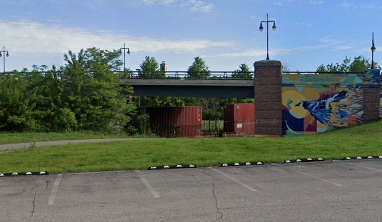
A new stretch of paved trail just opened in downtown Akron, giving cyclists and hikers a fresh link in a regional path that has been more than a decade in the making. Summit Metro Parks has announced the completion of Freedom Trail Phase IVa, a paved route for hikers and bikers that runs from Mill Street south to Buchtel Avenue.
New Trailhead Brings Fountain, Map Kiosk to Mill and Lincoln
According to Cleveland.com, the new segment includes a trailhead at the intersection of Mill and Lincoln streets, equipped with a seasonal drinking fountain and a kiosk with a trail map. The trail runs alongside a railroad corridor in that stretch, and the land beneath it is owned by a mix of entities, including the Metro Regional Transit Authority, the University of Akron, and Summit Metro Parks itself.
This segment also links up with the Portage Hike & Bike Trail, which connects the University of Akron with Kent State University, according to the same report. That connection is part of what gives the Freedom Trail its broader identity. Summit Metro Parks describes the trail on its website as a connective corridor, bridging the gap for cyclists between downtown Akron and Kent.
Next Up: A Link to Akron's Transit Center and the Towpath
The project isn't finished yet. The next phase, known as IVb, is intended to allow riders and hikers to travel from the University of Akron to Metro RTA's Transit Center and the Ohio & Erie Canal Towpath Trail near the former Spaghetti Warehouse in downtown Akron, per the Cleveland.com report. No completion date or schedule for that phase has been detailed.
Freedom Trail construction first got underway back in 2011, and the project has been supported by a grant from the Akron Metropolitan Area Transportation Study, the outlet reports. The trail's open hours are set at 6 a.m. to 11 p.m. across all sections, unless otherwise noted, according to Summit Metro Parks.
The downtown work is part of a larger transportation project, not just a park path: AMATS’ improvement plan described the 1.3-mile Phase 4 route from Mill Street to Rosa Parks Boulevard as a 10-foot-wide paved multipurpose trail. The agency’s fiscal 2025 project list recorded $3.53 million obligated for construction. That planned corridor is intended to reach the METRO RTA station, extending the trail’s role as a connection between neighborhoods and regional transportation. AMATS’ project listing identifies the route and construction obligation.
How Long Is the Trail, Exactly? Sources Don't Quite Agree
Just how long the finished Freedom Trail will ultimately stretch depends on who's counting. Summit Metro Parks' own website states the trail will run nearly 10 miles from the Portage County line in Tallmadge to the Towpath Trail in downtown Akron once complete, a figure echoed in a 2022 Cleveland.com report on the trail's third phase. The Beacon Journal, however, has reported a projected total closer to 9.4 miles, based on individual phase lengths it cited at the time — with the first phase measuring 4.2 miles, the second approximately 2 miles, the third 1.8 miles, and the fourth 1.4 miles. Osborn Engineering, meanwhile, describes the trail as a 9-mile shared-use path beginning in Tallmadge and connecting to the Towpath Trail downtown, according to the firm's own project page.
Built in Pieces Over More Than a Decade
The Freedom Trail has come together phase by phase since construction began. Summit Metro Parks reported in 2022 that Phase III, running from Eastwood Avenue to East Mill Street in Akron, was complete, a milestone covered by Cleveland.com at the time. That same 2022 report noted Phase 4a was planned to include a new trailhead and parking lot at East Mill Street, extending to East Buchtel Avenue — groundwork that appears to have set the stage for the segment just completed.
The trail’s name preserves the history of the corridor it follows: Summit Metro Parks says it was named for the Freedom Secondary rail line of the Erie-Lackawanna Railroad, which originated in Freedom Township. The former rail route now serves another kind of connection. The park district describes the corridor as a linear link between green spaces used by wildlife, including bald eagles, coyotes and white-tailed deer. The trail’s railroad origins also reflect the partnerships that made its conversion possible.
Summit Metro Parks has also worked to close gaps elsewhere along the broader network. The agency has completed a short multipurpose connector between the Freedom Trail and the Portage Hike & Bike Trail, closing what it described as a 0.3-mile gap between the two paths. That connector was described by Summit Metro Parks as a 10-foot-wide asphalt path with switchbacks and a pedestrian bridge over the railroad corridor, built to Americans with Disabilities Act standards. The Beacon Journal reported the connector project was projected to cost $1.75 million, including a $700,000 grant from the Akron Metropolitan Area Transportation Study.



