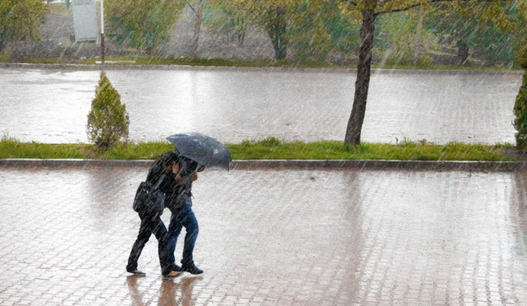
Houston is buckling up for a week of stormy weather that kicked off with rain heavy enough to cause flooding and disrupt commutes on Monday. The National Weather Service projected a "100 percent chance of precipitation" with rainfall amounts hitting the 1-2 inches mark throughout the day. As the rain began to pelt down, the morning and evening rush hours took a hit, with the possibility of some areas receiving even higher rainfall totals and potential thunderstorms.
The soggy conditions are only the beginning, as Houston's weather forecast stares down the barrel of consecutive days of heavy precipitation. According to the Houston Chronicle, the atmosphere is primed with moisture reaching 90th percentile levels for this time of year, setting the stage for a week where cumulative rain can eclipse 6 inches. Flood concerns are high on the radar, given that recent freezing temperatures have hardened soils to the point where rapid runoff is a troubling possibility.
Tuesday, with the Storm Prediction Center indicating a "marginal risk of severe thunderstorms" stretching from the Texas Coastal Plain deep into southwest Louisiana. These storms could bring damaging wind gusts to the surrounding areas of Houston, with an isolated tornado threat lurking in the mix. The unstable conditions are the result of a shortwave trough pushing northeastward, amplifying the chance for severe weather patterns to emerge.
Apart from the immediate risk of severe storms, the consistent thread through this week's forecast is the threat of flash flooding, exacerbated by the relentless rain rates. The Texas Division of Emergency Management didn't take these predictions lightly, and activated state emergency response teams Sunday in anticipation of the wet onslaught. Amidst the rainfall, temperatures are expected to stay relatively mild. The majority of the days will see the mercury hovering near the 70-degree mark.
Residents should keep an eye on updates as conditions develop, especially drivers and those living in flood-prone areas.


