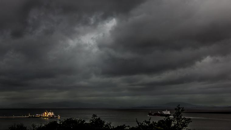
Bay Area residents aren't getting a break from the relentless downpour this weekend, as another storm is en route, bringing gusty winds and heavy rains. According to the NWS Bay Area's forecast, the new storm system will impact the area from Sunday into Monday. Scattered showers will persist through Saturday, keeping the wet conditions a constant issue into next week. Residents are encouraged to follow updates from trusted weather sources as the forecast evolves.
Scattered showers continue into Saturday. Thereafter another strong storm system impacts us on Sunday into Monday. Periods of gusty wind and heavy rain look likely yet again so keep up with forecast changes from a trusted weather source. #cawx pic.twitter.com/dI2nC7JiR3
— NWS Bay Area 🌉 (@NWSBayArea) February 1, 2024
The current weather situation, resulting from a powerful low pressure system, has spawned active winds with gusts hitting 60-70 mph in certain peaks, and moderate to heavy rain pummeling the region. "It's been a busy evening for radar watch with several Flood Advisories still in effect," the National Weather Service in San Francisco reports, noting that flooding has mostly been of the nuisance variety affecting urban areas, streams, and roadways. However, rain amounts aren't expected to be significant in the afternoon, despite predicted isolated heavy convective showers.
Flood warnings remain in effect until Friday morning particularly for Marin and Sonoma counties, in addition, a Flood Watch is active through late tonight for numerous central and northern California areas. These warnings come on the heels of recent rainfall between 1.5 and 3.5 inches that have already caused flooding, with streams continuing to rise from excess runoff. "Flooding of rivers, creeks, streams, and other low-lying and flood-prone locations is imminent or occurring," the alert specifies, underscoring the potential dangers for residents in the affected areas.
With significant rain still in the forecast, authorities are urging the public to remain vigilant about the potential for more flooding and damage. "Impacts from rain and wind appear likely, with a particular focus on the Santa Cruz and Santa Lucia ranges,” the National Weather Service warns. The forecast suggests the coastal ranges are bracing for the most significant downpour, with possible totals in the 3-7" range. There are concerns that the combination of heavy rains and a strong low-level jet could result in downed trees and power lines. The public is advised to keep abreast of forecast changes as the situation develops. Mariners, too, are warned as large westerly swells continue to pose threats to small crafts through the end of the workweek.


