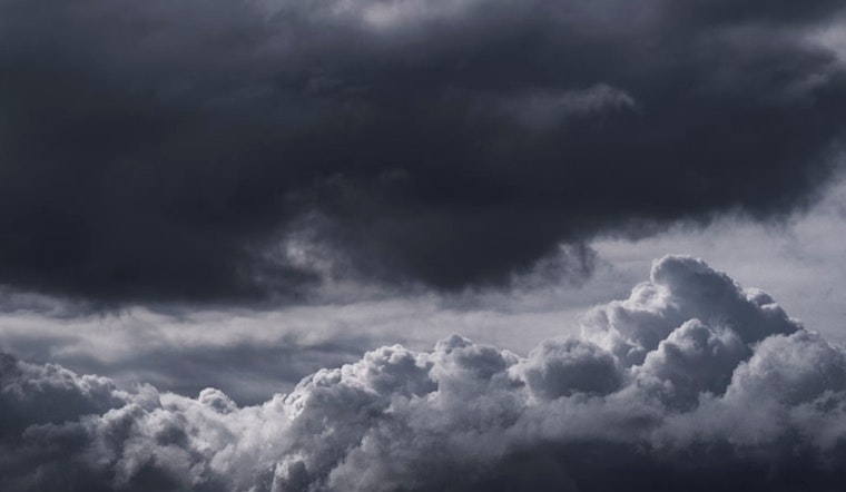
Seattle residents can expect an uptick in clouds today with a high near 48 degrees. The forecast suggests the grey skies aren't going anywhere, with a chance of rain creeping in during the early morning hours Saturday. The recent dry spell seems to be phasing out, paving the way for a wet trend over the weekend and into next week, the National Weather Service Seattle reports.
As temperatures hover in the mid-to-high 30s tonight, a 10 percent chance of rain after 4 a.m. looms, as per the NWS. Those hoping for a continuation of calm, crisp winter days may have to hold out for a while longer. The northeast wind is expected to maintain speeds of 6 to 9 mph as it shifts east southeast, signaling a change in the weather pattern.
The NWS also predicts a 30 percent chance of rain Saturday, mainly after 10 a.m., with the high nudging up slightly to 51 degrees. The rain likelihood ramps up Saturday night, hitting a 60 percent probability of showers, adding more than a mere drizzle to the city's often damp streets. Sunday will likely follow suit, offering another potentially rainy morning and highs near 50 degrees.
Celebrating Washington's Birthday might not be as dry as some might hope, with a 50 percent chance of rain in the forecast. The unsettled pattern appears to stay put through Tuesday as Seattleites may see more showers before 4 p.m. and highs reaching into the low 50s. Nighttime doesn’t offer much respite from the wetness, with additional chances of rain before 10 p.m. on multiple evenings.
Those looking for full details on the shifting weather can find updates on the NWS Seattle's website. Keeping an umbrella at hand and planning for the likelihood of wet commutes will be the norm as February continues its typical Pacific Northwest reputation of keeping the city soaked.


