The Bay Area and the Central Coast are bracing for a weather shift as the National Weather Service in San Francisco predicts a significant drop in temperatures and rain starting from Friday, with the possibility of these conditions enduring until the end of March. According to the NWS Forecast Office San Francisco, CA, "An approaching cold front will bring rain to the Bay Area and Central Coast," highlighting the most intense period of rain from Friday through early Saturday. Showers are expected to linger through Sunday, signaling the start of cooler, unsettled weather patterns for the residents in the coming days.
An area forecast discussion issued at 121 AM PDT on March 20 detailed the progression of weather changes, indicating that "A cold front arrives Friday, moving from N to S." The National Weather Service warned of southerly winds gathering strength ahead of the front in conjunction with steady, light to moderate rain. Post-frontal conditions suggest a shift to westerly winds, transitioning the steady rain into intermittent showers on Saturday. The forecast also teases the slight chance for thunderstorms to emerge amidst these changing conditions. The forecast discussion illuminates this shift as "cooler temperatures look to persist into the middle of next week."
The aviation industry will feel the impact as well, with varying visual flight rules (VFR) conditions and instances of local instrument flight rules (LIFR) because of fog development, particularly at STS (Charles M. Schulz–Sonoma County Airport) and SNS (Salinas Municipal Airport). The NWS aviation report suggests that fog at STS is expected to clear by mid-morning, while only temporary fog development, superseded by low level stratus, is anticipated at SNS. The report provided a more nuanced time frame, stating, "Fog will start to clear out of STS between 17-18Z," while noting a caveat on the persistence of these conditions which could delay clearing until as late as 20Z.
Marine conditions are also set to be swayed by the incoming front, with National Weather Service predictions of "breezier westerly to southerly winds, and slightly elevated wave heights beginning late Thursday lasting through Saturday afternoon." Those at sea should also anticipate a new swell train arriving Thursday, following a diminishing moderate period northwesterly swell. The precise conditions impacting marine interests are briefly explained as "Light to moderate northwest to westerly winds continue across the northern and central coastal waters with gustier winds across the southern coastal waters." To ensure the safety of maritime activities, a Small Craft Advisory has been issued until 3 AM PDT Thursday for the area from Point Pinos to Point Piedras Blancas within 0-10 nautical miles.
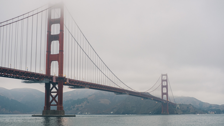
On social media, the NWS Bay Area's X account echoed the sentiments of the detailed forecasts, advising residents via tweet that "Starting Friday, we will enter a cool and wet pattern that may last through the end of the month." With this heads-up, locals can gear up for a significant climatic shift, preparing for a weekend and possibly end of the month dominated by cooler temperatures and rainfall—difficulties that are just another chapter in the ever-unpredictable story of Bay Area weather.
Starting Friday, we will enter a cool and wet pattern that may last through the end of the month. #CAwx pic.twitter.com/OlzyS35uyg
— NWS Bay Area 🌉 (@NWSBayArea) March 20, 2024


