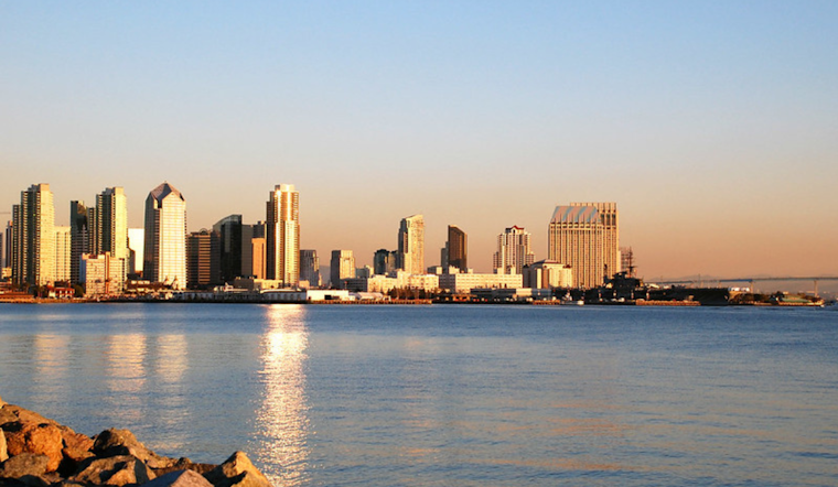
The National Weather Service in San Diego predicts the warmest days of the week today and Monday, with temperatures flirting with the 70s near the coast and hitting between 95 to 100 in the lower deserts. Come Tuesday, however, expect the weather to turn cooler and possibly even drizzly west of the mountains as a low-pressure trough makes its way down the West Coast, as reported by NWS San Diego.
Don't get too comfortable with the beach weather just yet. The heat will be fleeting as the forecast indicates a shift set to begin quickly after Monday. According to the NWS's area forecast discussion, "further cooling takes place Tuesday as the first of two troughs approach from the west." As the ridge drifts east to allow the marine layer to set in deeply, it's expected to bring a colder, breezier end to the week. Even a light jacket might not be out of the question by Friday or Saturday, as temperatures are forecasted to fall, complemented by showers at times.
Driving into the technical nitty-gritty for those needing the details, the marine layer was "500 feet shallower this morning than yesterday morning," as per the NWS San Diego's discussion. Low clouds are predicted to clear back to the coast through early afternoon, offering some sunny respite before the expected downturn in weather later in the week.
For aviators, the view from above appears mostly clear. "Low clouds with bases 1300-1600 ft MSL and tops to 2000 ft MSL will continue through 16Z-18Z within 20-25 miles of the coast," says the NWS report, but expect mostly clear skies beyond those points. Mariners, meanwhile, can look forward to smooth sailing. The NWS has waved off any hazardous marine conditions through Thursday.


