As Houston braces for a week punctuated by showers and thunderstorms, residents in the area are advised to stay updated on weather conditions. According to the National Weather Service, the forecast starting Sunday features sunny skies with a sweltering high near 92 degrees, but the heat index could soar even higher to a stifling 103 degrees.
However, the serenity of today's warmth is set to be disrupted, as Houston will see a 30 percent chance of showers after 5am tonight, leading into a more precipitous outlook for Monday, which carries a 90 percent chance of showers and thunderstorms, some before and then again after 4pm, bringing potentially significant rainfall ranging between half and three-quarters of an inch; come Tuesday, the likelihood of storms persists, particularly between 1pm and 4pm, then again after 4pm, with an emphasis on the potential for heavy rainfall associated with some of these storms and a continued high chance of precipitation at 70 percent, as stated by the National Weather Service.
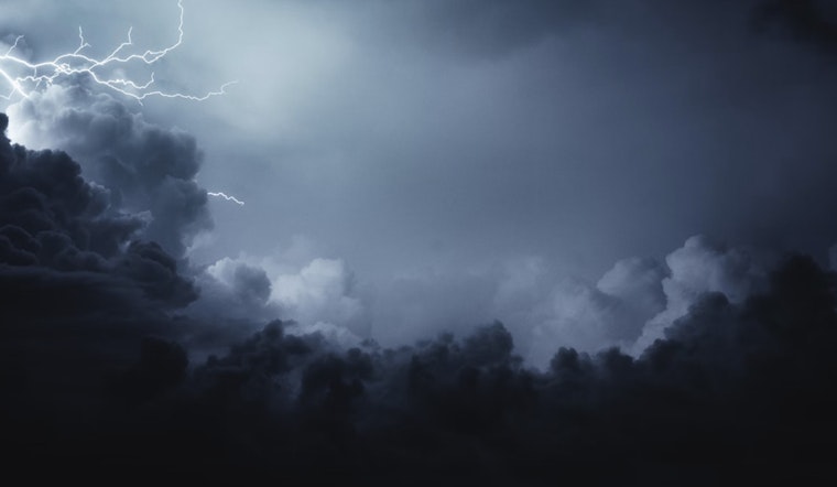
The Storm Prediction Center similarly suggests an undulating pattern of severe weather potential, not just for Houston but stretching across the northern Plains and upper Mississippi Valley, where scattered strong to severe storms are anticipated on Monday, raising concerns beyond Texas's borders. Locally in Houston, the NWS Houston division posted on X, urging constant monitoring as tropical moisture increases the threat of persistent rains throughout the coming week.
A wet week is in store for the Houston area, and for areas along the coast as tropical moisture brings increased chances of rain. Continue to monitor https://t.co/nU60iQHpAV and https://t.co/lXeNQCvXx3 for the latest updates. pic.twitter.com/bm8rV8xPhH
— NWS Houston (@NWSHouston) June 16, 2024
Alongside the relentless showers and thunderstorms forecasted for Tuesday night into the celebration of Juneteenth, there’s an elevated chance of heavy rainfalls, potentially exacerbating situations for communities; the forecast also signifies the chance of precipitation holding steady at 60 percent through Wednesday night, before diminishing slightly to a 40 percent chance of showers and thunderstorms on Friday, encapsulating the city's weather narrative in a persistent cloudburst of instability, and leaving a residual 50 percent danger of thunderstorms rolling into Saturday, underscoring the need for locals to prepare for these emergent and cycling patterns of weather, which could persist in volatility, as implied by the prevailing forecasts.


